
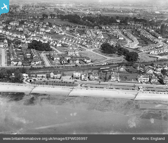
EPW036997 ENGLAND (1931). The Ridgeway and environs, Chalkwell, 1931
© Copyright OpenStreetMap contributors and licensed by the OpenStreetMap Foundation. 2024. Cartography is licensed as CC BY-SA.
Nearby Images (13)
EPW036997

EAW017024

EPW054669

EPW036706

EAW053102

EPW040971

EPW039867

EPW032903

EPW036715

EPW037000

EPW037005

EPW037001

EAW053100

Details
| Title | [EPW036997] The Ridgeway and environs, Chalkwell, 1931 |
| Reference | EPW036997 |
| Date | October-1931 |
| Link | |
| Place name | CHALKWELL |
| Parish | |
| District | |
| Country | ENGLAND |
| Easting / Northing | 585488, 185611 |
| Longitude / Latitude | 0.67497119522524, 51.538397294841 |
| National Grid Reference | TQ855856 |
Pins
Be the first to add a comment to this image!


