
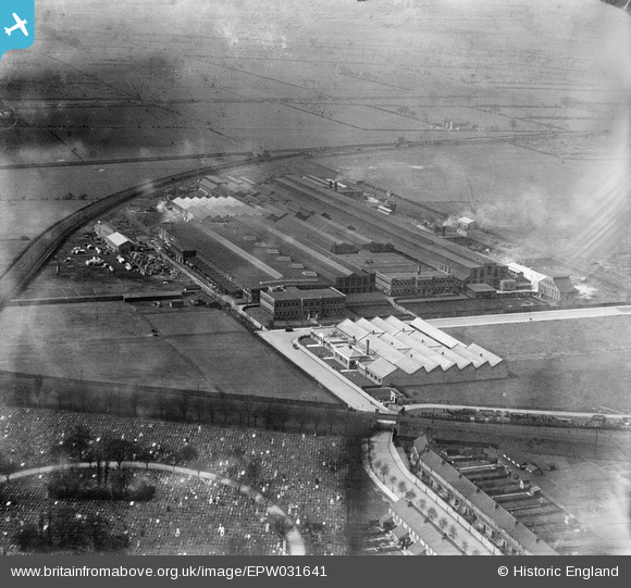
EPW031641 ENGLAND (1930). National Radiator Works, Kingston upon Hull, 1930
© Copyright OpenStreetMap contributors and licensed by the OpenStreetMap Foundation. 2024. Cartography is licensed as CC BY-SA.
Nearby Images (48)
EPW031641

EPW031636

EPW031639

EPW031640

EPW031637

EPW031638

EPW010832

EAW046030

EAW046033

EAW046036

EPW012815

EAW046035

EPW042792

EPW042794

EPW042793

EAW046034

EPW042050

EPW042790

EAW046032

EPW031232

EPW042054

EPW042789

EPW042791

EAW028585

EAW046031

EPW042051

EAW028589

EPW031230

EPW042047

EPW052228

EPW042048

EPW042049

EPW052224

EPW052230

EPW042053

EAW046040

EPW052231

EAW028591

EPW052227

EPW052226

EPW052225

EPW052229

EAW028592

EAW028584

EAW028590

EAW028586

EAW028587

EAW028588

Details
| Title | [EPW031641] National Radiator Works, Kingston upon Hull, 1930 |
| Reference | EPW031641 |
| Date | April-1930 |
| Link | |
| Place name | KINGSTON UPON HULL |
| Parish | |
| District | |
| Country | ENGLAND |
| Easting / Northing | 506700, 429816 |
| Longitude / Latitude | -0.38154596690146, 53.753549667757 |
| National Grid Reference | TA067298 |
Pins
Be the first to add a comment to this image!