
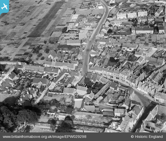
EPW029298 ENGLAND (1929). Housing surrounding the junction of Wood Street and Oxford Road, Calne, 1929
© Copyright OpenStreetMap contributors and licensed by the OpenStreetMap Foundation. 2024. Cartography is licensed as CC BY-SA.
Nearby Images (9)
EPW029298

EPW029299

EPW033518

EPW011113

EPW029293

EPW033517

EPW033526

EPW033516

EPW011112

Details
| Title | [EPW029298] Housing surrounding the junction of Wood Street and Oxford Road, Calne, 1929 |
| Reference | EPW029298 |
| Date | 14-September-1929 |
| Link | |
| Place name | CALNE |
| Parish | CALNE |
| District | |
| Country | ENGLAND |
| Easting / Northing | 399756, 171258 |
| Longitude / Latitude | -2.0035109207256, 51.439826162884 |
| National Grid Reference | ST998713 |
Pins
 Jane Ridgwell |
Thursday 1st of September 2016 04:49:20 PM | |
Jane Ridgwell |
Thursday 1st of September 2016 04:47:09 PM | |
Jane Ridgwell |
Thursday 1st of September 2016 04:46:33 PM |