
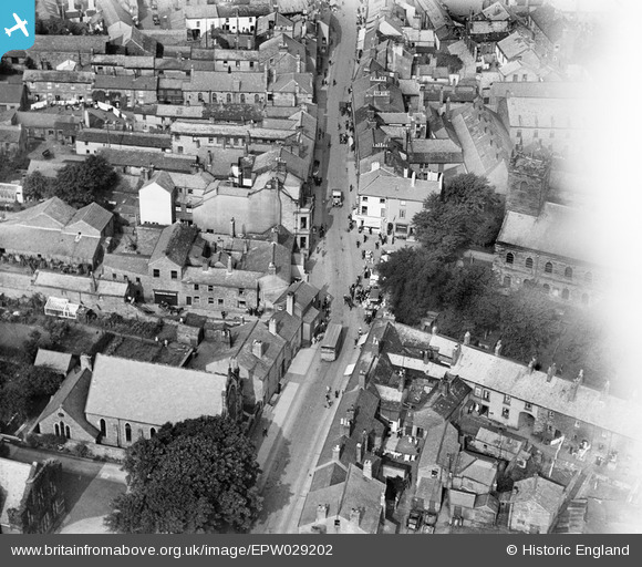
EPW029202 ENGLAND (1929). The Corn Market, Wigton, 1929
© Copyright OpenStreetMap contributors and licensed by the OpenStreetMap Foundation. 2024. Cartography is licensed as CC BY-SA.
Nearby Images (10)
EPW029202

EPW029203

EAW009315

EAW009314

EPW029200

EPW029204

EPW029206

EPW029205

EAW009316

EAW009313

Details
| Title | [EPW029202] The Corn Market, Wigton, 1929 |
| Reference | EPW029202 |
| Date | September-1929 |
| Link | |
| Place name | WIGTON |
| Parish | WIGTON |
| District | |
| Country | ENGLAND |
| Easting / Northing | 325556, 548248 |
| Longitude / Latitude | -3.1588159459019, 54.823443595209 |
| National Grid Reference | NY256482 |


