
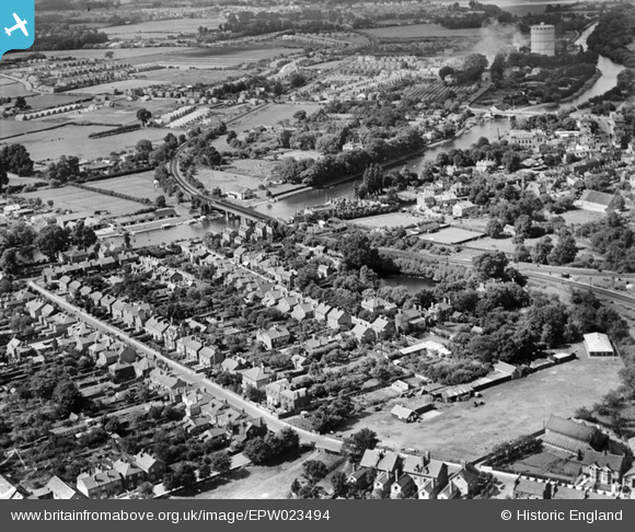
EPW023494 ENGLAND (1928). Staines and environs, Staines, 1928
© Copyright OpenStreetMap contributors and licensed by the OpenStreetMap Foundation. 2024. Cartography is licensed as CC BY-SA.
Nearby Images (5)
EPW023494

EPW061674

EPW049616

EPW061669

EPW023482

Details
| Title | [EPW023494] Staines and environs, Staines, 1928 |
| Reference | EPW023494 |
| Date | September-1928 |
| Link | |
| Place name | STAINES |
| Parish | |
| District | |
| Country | ENGLAND |
| Easting / Northing | 503713, 171285 |
| Longitude / Latitude | -0.50793570561566, 51.430573408243 |
| National Grid Reference | TQ037713 |
Pins

User Comment Contributions
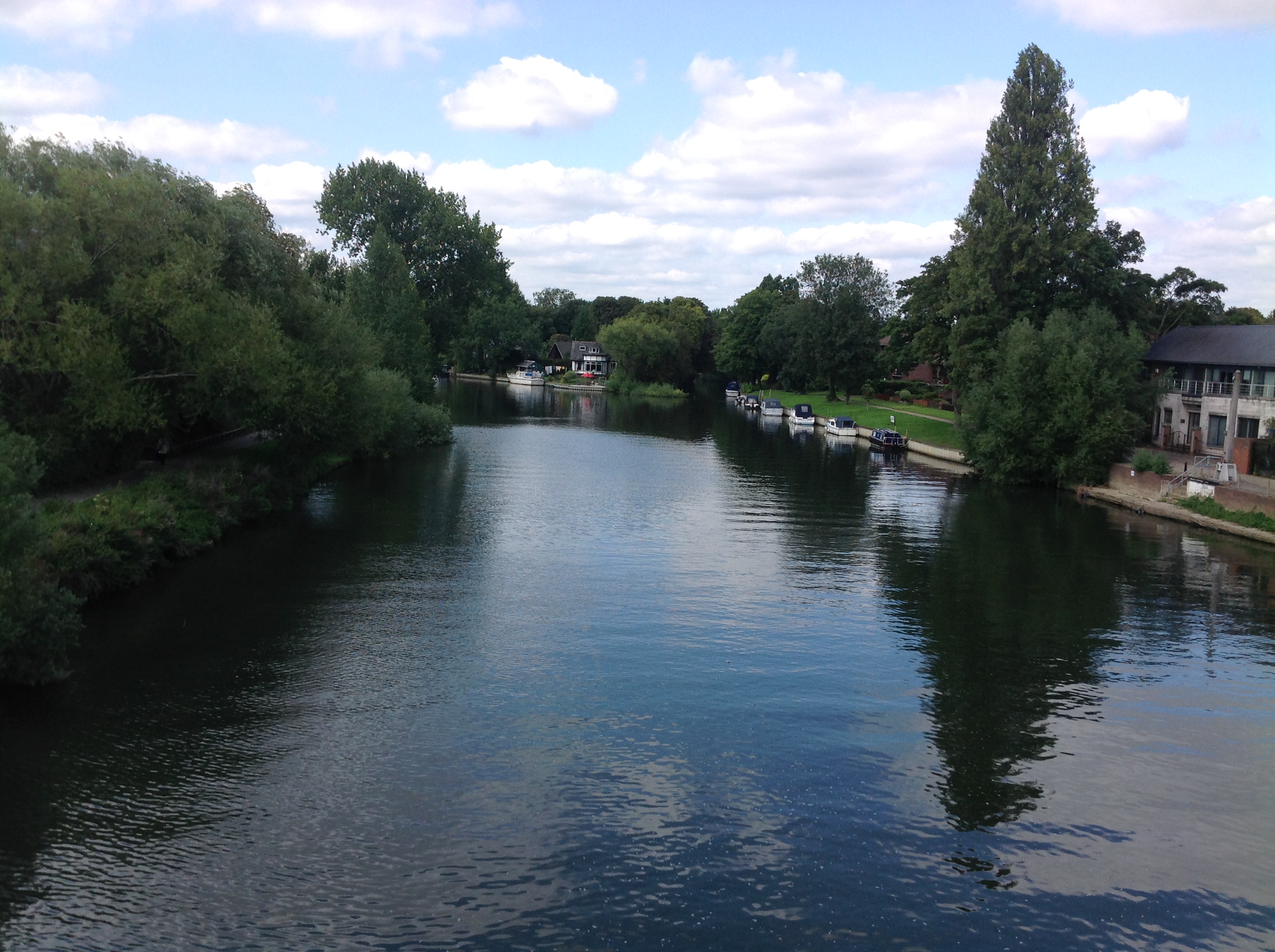 View west from Staines Bridge, 07/09/2015 |
 Class31 |
Tuesday 15th of September 2015 03:59:11 PM |


