
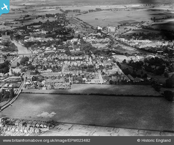
EPW023482 ENGLAND (1928). Staines and environs, Staines, 1928
© Copyright OpenStreetMap contributors and licensed by the OpenStreetMap Foundation. 2024. Cartography is licensed as CC BY-SA.
Nearby Images (3)
EPW023482

EPW049616

EPW023494

Details
| Title | [EPW023482] Staines and environs, Staines, 1928 |
| Reference | EPW023482 |
| Date | September-1928 |
| Link | |
| Place name | STAINES |
| Parish | |
| District | |
| Country | ENGLAND |
| Easting / Northing | 503956, 171132 |
| Longitude / Latitude | -0.50448598439446, 51.42915346821 |
| National Grid Reference | TQ040711 |
Pins
 Cuttin' |
Monday 28th of March 2022 02:40:54 PM | |
Cuttin' |
Monday 28th of March 2022 02:40:19 PM | |
Billy121 |
Thursday 17th of July 2014 10:15:49 AM | |
Billy121 |
Thursday 17th of July 2014 10:14:51 AM | |
bendy |
Monday 24th of June 2013 08:23:20 PM | |
bendy |
Monday 24th of June 2013 08:19:04 PM | |
bendy |
Monday 24th of June 2013 08:18:28 PM | |
bendy |
Monday 24th of June 2013 08:16:52 PM | |
bendy |
Monday 24th of June 2013 08:11:07 PM | |
bendy |
Monday 24th of June 2013 08:10:46 PM |


