
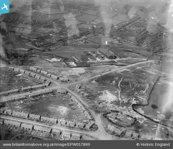
EPW017889 ENGLAND (1927). The Mander Brothers Works and environs, Heath Town, 1927
© Copyright OpenStreetMap contributors and licensed by the OpenStreetMap Foundation. 2024. Cartography is licensed as CC BY-SA.
Nearby Images (12)
EPW017889

EPW017884

EPW017888

EPW017910

EPW017911

EPW017882

EPW017908

EPW017881

EPW017887

EPW017886

EPW017890

EPW017885

Details
| Title | [EPW017889] The Mander Brothers Works and environs, Heath Town, 1927 |
| Reference | EPW017889 |
| Date | 11-May-1927 |
| Link | |
| Place name | HEATH TOWN |
| Parish | |
| District | |
| Country | ENGLAND |
| Easting / Northing | 393039, 298975 |
| Longitude / Latitude | -2.1027595676958, 52.588177102571 |
| National Grid Reference | SO930990 |
Pins
 jennie crockett |
Wednesday 1st of April 2015 08:20:54 PM | |
jennie crockett |
Wednesday 1st of April 2015 08:20:16 PM | |
jennie crockett |
Wednesday 1st of April 2015 08:19:56 PM | |
jennie crockett |
Wednesday 1st of April 2015 08:19:31 PM | |
garygareth |
Tuesday 26th of March 2013 01:22:31 AM |


