
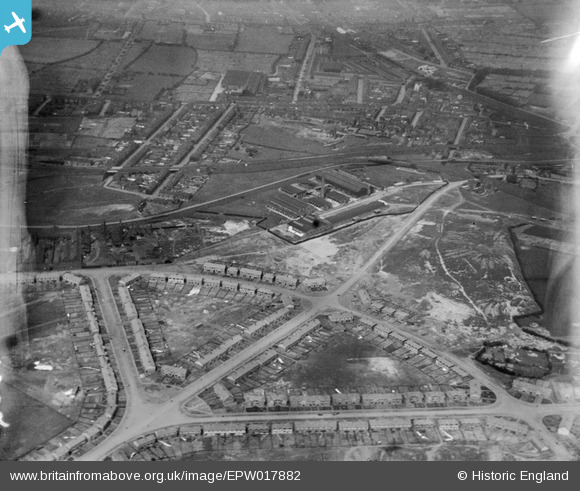
EPW017882 ENGLAND (1927). The Mander Brothers Works and environs, Heath Town, 1927
© Copyright OpenStreetMap contributors and licensed by the OpenStreetMap Foundation. 2024. Cartography is licensed as CC BY-SA.
Nearby Images (12)
EPW017882

EPW017908

EPW017888

EPW017889

EPW017910

EPW017884

EPW017887

EPW017911

EPW017881

EPW017890

EPW017885

EPW017886

Details
| Title | [EPW017882] The Mander Brothers Works and environs, Heath Town, 1927 |
| Reference | EPW017882 |
| Date | 11-May-1927 |
| Link | |
| Place name | HEATH TOWN |
| Parish | |
| District | |
| Country | ENGLAND |
| Easting / Northing | 392986, 298953 |
| Longitude / Latitude | -2.1035414959318, 52.587978622942 |
| National Grid Reference | SO930990 |
Pins
 62haynes |
Thursday 4th of November 2021 03:26:03 AM | |
62haynes |
Thursday 4th of November 2021 03:26:02 AM | |
62haynes |
Thursday 4th of November 2021 03:24:30 AM | |
alan alcock |
Tuesday 28th of February 2017 07:12:34 PM | |
alan alcock |
Tuesday 28th of February 2017 07:11:59 PM | |
alan alcock |
Tuesday 28th of February 2017 07:11:25 PM | |
alan alcock |
Tuesday 28th of February 2017 07:10:55 PM | |
alan alcock |
Tuesday 28th of February 2017 07:10:28 PM | |
alan alcock |
Tuesday 28th of February 2017 07:09:50 PM | |
garygareth |
Monday 20th of January 2014 01:55:47 PM | |
garygareth |
Monday 20th of January 2014 01:54:58 PM | |
garygareth |
Monday 20th of January 2014 01:54:00 PM | |
garygareth |
Monday 20th of January 2014 01:53:10 PM | |
garygareth |
Monday 20th of January 2014 01:52:36 PM |
User Comment Contributions
bottom left - top right old heath rd,deansfield rd and st giles rd to the right,,,eastield rd and Stanton rd to the left of centre,,, |
alan alcock |
Tuesday 28th of February 2017 07:15:18 PM |


