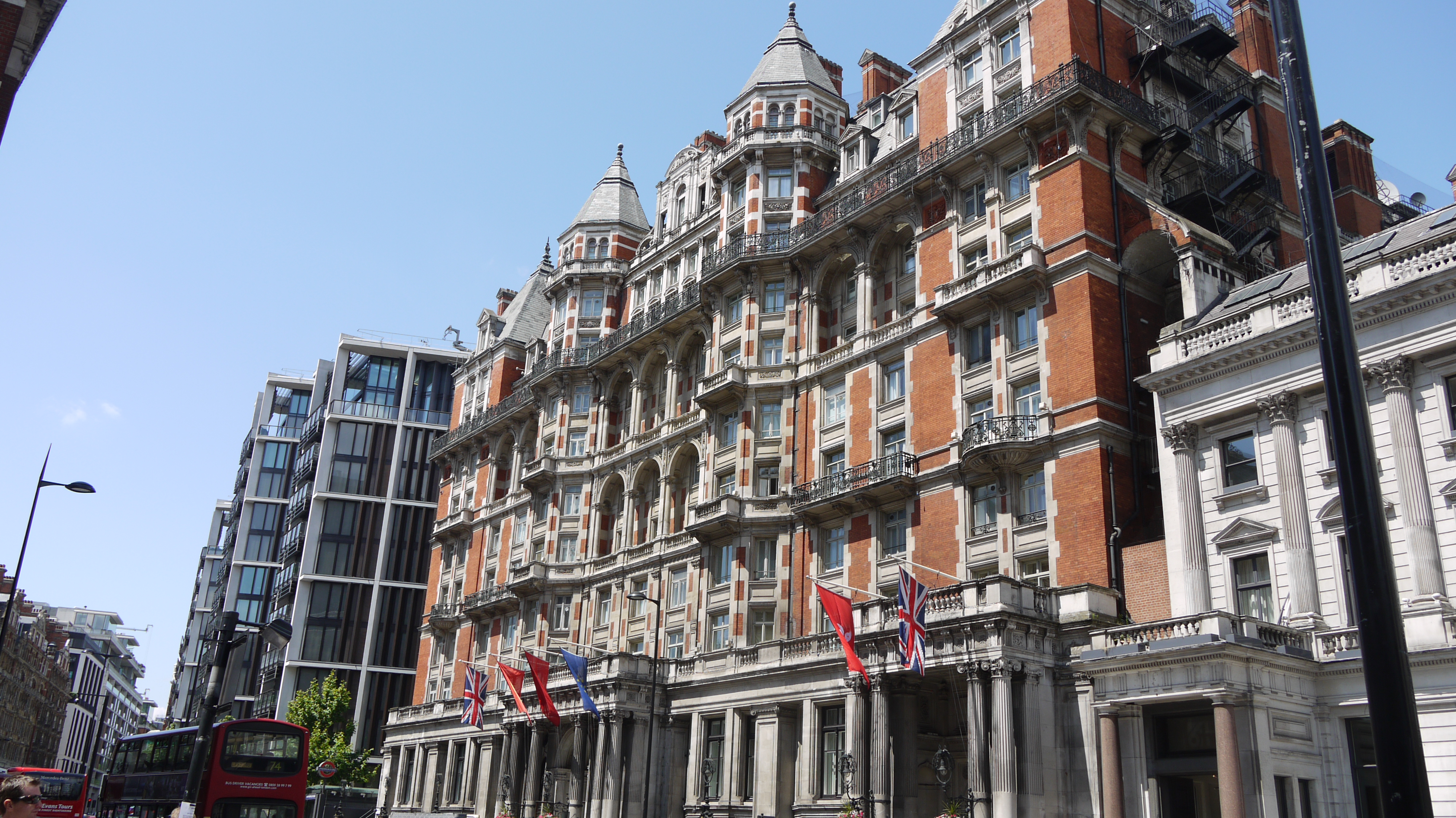
EPW016661 ENGLAND (1926). The Knightsbridge road, Knightsbridge, 1926

© Copyright OpenStreetMap contributors and licensed by the OpenStreetMap Foundation. 2024. Cartography is licensed as CC BY-SA.
Nearby Images (6)
EPW016661

EPW016659

EPW016660

EPW045420

EAW021081

EPW005912

Details
| Title | [EPW016661] The Knightsbridge road, Knightsbridge, 1926 |
| Reference | EPW016661 |
| Date | August-1926 |
| Link | |
| Place name | KNIGHTSBRIDGE |
| Parish | |
| District | |
| Country | ENGLAND |
| Easting / Northing | 527926, 179757 |
| Longitude / Latitude | -0.15670463408357, 51.501769335496 |
| National Grid Reference | TQ279798 |
Pins
 Class31 |
Wednesday 17th of June 2015 09:50:19 AM | |
Class31 |
Wednesday 17th of June 2015 09:48:26 AM | |
Class31 |
Wednesday 17th of June 2015 09:44:07 AM | |
Class31 |
Wednesday 17th of June 2015 09:42:25 AM | |
Class31 |
Saturday 7th of March 2015 08:49:16 PM | |
Class31 |
Friday 16th of May 2014 04:03:00 PM | |
 brian |
Monday 12th of May 2014 01:14:43 AM | |
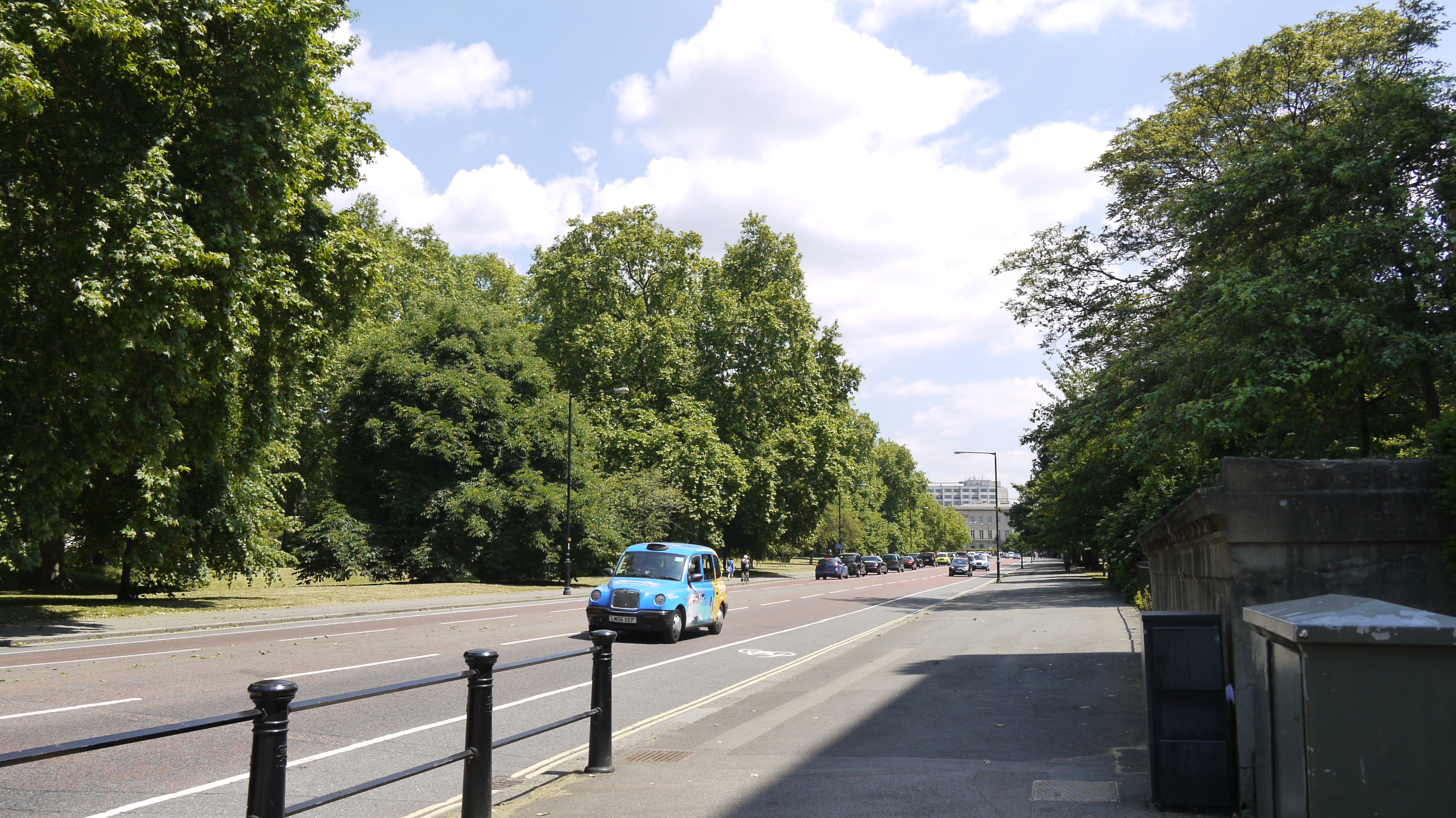
Looks like it's the South Carriage Drive. |
Class31 |
Wednesday 17th of June 2015 09:44:53 AM |