
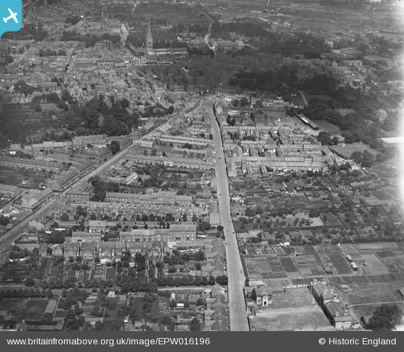
EPW016196 ENGLAND (1926). Albert Street and environs, Newark-on-Trent, 1926
© Copyright OpenStreetMap contributors and licensed by the OpenStreetMap Foundation. 2024. Cartography is licensed as CC BY-SA.
Nearby Images (3)
EPW016196

EPW042803

EPW016194

Details
| Title | [EPW016196] Albert Street and environs, Newark-on-Trent, 1926 |
| Reference | EPW016196 |
| Date | July-1926 |
| Link | |
| Place name | NEWARK-ON-TRENT |
| Parish | NEWARK |
| District | |
| Country | ENGLAND |
| Easting / Northing | 479644, 353472 |
| Longitude / Latitude | -0.81111543004763, 53.07223664599 |
| National Grid Reference | SK796535 |


