
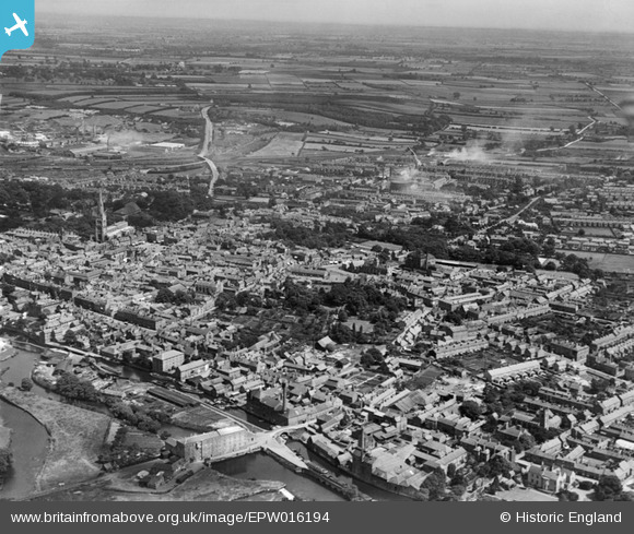
EPW016194 ENGLAND (1926). The town centre, Newark-on-Trent, from the west, 1926
© Copyright OpenStreetMap contributors and licensed by the OpenStreetMap Foundation. 2024. Cartography is licensed as CC BY-SA.
Nearby Images (6)
EPW016194

EPW038063

EPW038062

EPW038061

EAW016509

EPW016196

Details
| Title | [EPW016194] The town centre, Newark-on-Trent, from the west, 1926 |
| Reference | EPW016194 |
| Date | July-1926 |
| Link | |
| Place name | NEWARK-ON-TRENT |
| Parish | NEWARK |
| District | |
| Country | ENGLAND |
| Easting / Northing | 479542, 353712 |
| Longitude / Latitude | -0.81257832758945, 53.074409007462 |
| National Grid Reference | SK795537 |
Pins
 MB |
Sunday 6th of November 2016 06:20:28 PM | |
MB |
Sunday 6th of November 2016 06:19:17 PM | |
MB |
Sunday 6th of November 2016 06:18:40 PM | |
MB |
Sunday 6th of November 2016 06:18:14 PM | |
MB |
Sunday 6th of November 2016 06:16:53 PM | |
MB |
Sunday 6th of November 2016 06:15:23 PM | |
MB |
Sunday 6th of November 2016 06:14:04 PM | |
This was a cotton mill before its conversion to milling grain. More history here: http://www.ournottinghamshire.org.uk/page/the_cotton_mill_at_newark |
MB |
Sunday 6th of November 2016 10:14:55 PM |
MB |
Sunday 6th of November 2016 06:12:23 PM |