
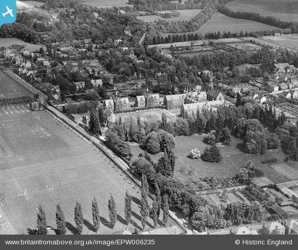
EPW006235 ENGLAND (1921). St John's School, Leatherhead, 1921
© Copyright OpenStreetMap contributors and licensed by the OpenStreetMap Foundation. 2024. Cartography is licensed as CC BY-SA.
Nearby Images (8)
EPW006235

EPW006236

EPW032796

EPW025244

EPW025245

EAW049422

EAW049420

EPW025243

Details
| Title | [EPW006235] St John's School, Leatherhead, 1921 |
| Reference | EPW006235 |
| Date | 23-May-1921 |
| Link | |
| Place name | LEATHERHEAD |
| Parish | |
| District | |
| Country | ENGLAND |
| Easting / Northing | 516956, 156722 |
| Longitude / Latitude | -0.32228981869869, 51.297089717232 |
| National Grid Reference | TQ170567 |
Pins
Be the first to add a comment to this image!