
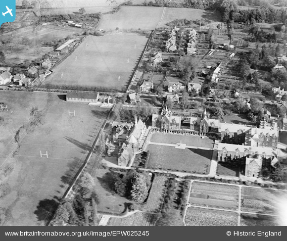
EPW025245 ENGLAND (1928). St John's School, Leatherhead, 1928
© Copyright OpenStreetMap contributors and licensed by the OpenStreetMap Foundation. 2024. Cartography is licensed as CC BY-SA.
Nearby Images (7)
EPW025245

EPW006236

EPW006235

EPW032796

EPW025244

EAW049422

EAW049420

Details
| Title | [EPW025245] St John's School, Leatherhead, 1928 |
| Reference | EPW025245 |
| Date | 25-October-1928 |
| Link | |
| Place name | LEATHERHEAD |
| Parish | |
| District | |
| Country | ENGLAND |
| Easting / Northing | 516953, 156783 |
| Longitude / Latitude | -0.32231284132796, 51.29763866018 |
| National Grid Reference | TQ170568 |
Pins
 JP |
Tuesday 11th of February 2014 01:08:47 PM |


