
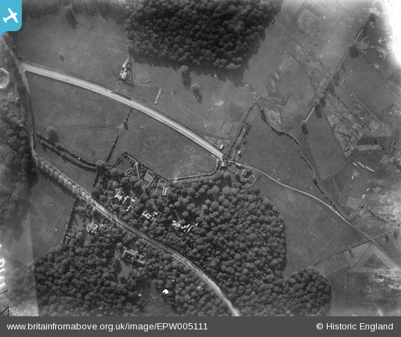
EPW005111 ENGLAND (1920). Spaniards Farm, Hampstead, 1920
© Copyright OpenStreetMap contributors and licensed by the OpenStreetMap Foundation. 2024. Cartography is licensed as CC BY-SA.
Nearby Images (3)
EPW005111

EPW047881

EAW014550

Details
| Title | [EPW005111] Spaniards Farm, Hampstead, 1920 |
| Reference | EPW005111 |
| Date | 18-October-1920 |
| Link | |
| Place name | HAMPSTEAD GARDEN SUBURB |
| Parish | |
| District | |
| Country | ENGLAND |
| Easting / Northing | 526590, 187838 |
| Longitude / Latitude | -0.17303793571377, 51.574701254006 |
| National Grid Reference | TQ266878 |
Pins
Be the first to add a comment to this image!