
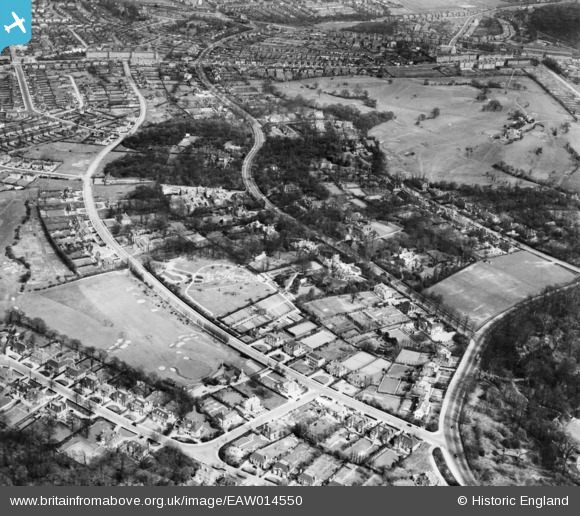
EAW014550 ENGLAND (1948). The residential area surrounding Winnington Road and Highgate Golf Club, Hampstead Garden Suburb, 1948
© Copyright OpenStreetMap contributors and licensed by the OpenStreetMap Foundation. 2024. Cartography is licensed as CC BY-SA.
Nearby Images (3)
EAW014550

EPW005111

EAW014552

Details
| Title | [EAW014550] The residential area surrounding Winnington Road and Highgate Golf Club, Hampstead Garden Suburb, 1948 |
| Reference | EAW014550 |
| Date | 15-April-1948 |
| Link | |
| Place name | HAMPSTEAD GARDEN SUBURB |
| Parish | |
| District | |
| Country | ENGLAND |
| Easting / Northing | 526758, 187830 |
| Longitude / Latitude | -0.1706175564002, 51.574591594356 |
| National Grid Reference | TQ268878 |
