
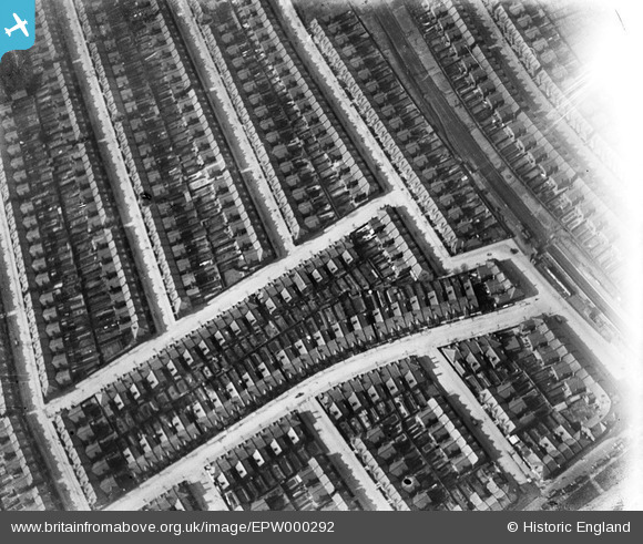
EPW000292 ENGLAND (1920). Langler Road, Kensal Green, 1920
© Copyright OpenStreetMap contributors and licensed by the OpenStreetMap Foundation. 2024. Cartography is licensed as CC BY-SA.
Nearby Images (5)
EPW000292

EPW005600

EPW005601

EPW056370

EPW056369

Details
| Title | [EPW000292] Langler Road, Kensal Green, 1920 |
| Reference | EPW000292 |
| Date | April-1920 |
| Link | |
| Place name | KENSAL GREEN |
| Parish | |
| District | |
| Country | ENGLAND |
| Easting / Northing | 523454, 183060 |
| Longitude / Latitude | -0.2199507575464, 51.532451846263 |
| National Grid Reference | TQ235831 |
Pins
 Mac |
Thursday 4th of February 2021 04:08:34 PM | |
Wordy |
Thursday 8th of May 2014 09:57:26 PM | |
NthLondonBoy |
Wednesday 29th of August 2012 05:18:31 PM | |
NthLondonBoy |
Wednesday 29th of August 2012 05:17:37 PM |


