
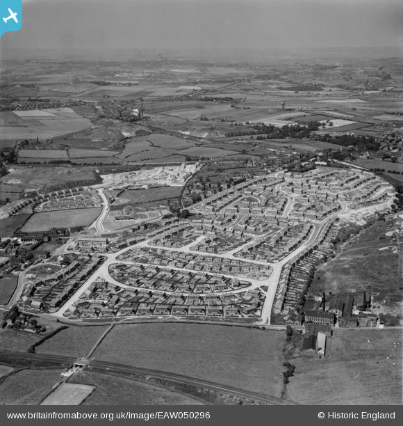
EAW050296 ENGLAND (1953). Council estate at Chickenley, Dewsbury, from the south, 1953. This image was marked by Aerofilms Ltd for photo editing.
© Copyright OpenStreetMap contributors and licensed by the OpenStreetMap Foundation. 2024. Cartography is licensed as CC BY-SA.
Nearby Images (12)
EAW050296

EAW042442

EAW050300

EAW042434

EAW042430

EAW042435

EAW042436

EAW042432

EAW042438

EAW042439

EAW042441

EAW042437

Details
| Title | [EAW050296] Council estate at Chickenley, Dewsbury, from the south, 1953. This image was marked by Aerofilms Ltd for photo editing. |
| Reference | EAW050296 |
| Date | 3-July-1953 |
| Link | |
| Place name | DEWSBURY |
| Parish | |
| District | |
| Country | ENGLAND |
| Easting / Northing | 426509, 420925 |
| Longitude / Latitude | -1.598583407097, 53.683880990603 |
| National Grid Reference | SE265209 |
Pins
 malcolm |
Tuesday 24th of March 2015 05:56:50 PM | |
Brick Collector |
Thursday 9th of October 2014 09:15:37 PM | |
Brick Collector |
Thursday 9th of October 2014 09:13:43 PM | |
Brick Collector |
Thursday 9th of October 2014 09:12:04 PM | |
Brick Collector |
Thursday 9th of October 2014 09:09:07 PM | |
Brick Collector |
Thursday 9th of October 2014 09:05:21 PM | |
Brick Collector |
Thursday 9th of October 2014 09:00:28 PM | |
Brick Collector |
Thursday 9th of October 2014 08:58:54 PM |


