
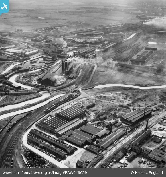
EAW049659 ENGLAND (1953). The industrial landscape of New York, Ickles and Templeborough, Rotherham, 1953
© Copyright OpenStreetMap contributors and licensed by the OpenStreetMap Foundation. 2024. Cartography is licensed as CC BY-SA.
Nearby Images (19)
EAW049659

EAW048638

EAW048637

EAW048635

EAW048630

EAW024146

EAW048634

EAW048631

EAW029397

EAW049662

EAW048649

EAW048632

EAW049658

EAW025972

EAW049661

EAW049657

EAW048633

EAW049660

EPW041696

Details
| Title | [EAW049659] The industrial landscape of New York, Ickles and Templeborough, Rotherham, 1953 |
| Reference | EAW049659 |
| Date | 24-May-1953 |
| Link | |
| Place name | ROTHERHAM |
| Parish | |
| District | |
| Country | ENGLAND |
| Easting / Northing | 442019, 392228 |
| Longitude / Latitude | -1.3675919444971, 53.424911277743 |
| National Grid Reference | SK420922 |
Pins
Be the first to add a comment to this image!


