
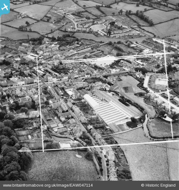
EAW047114 ENGLAND (1952). Court Rope, Twine and Net Works and environs, Bridport, 1952. This image was marked by Aerofilms Ltd for photo editing.
© Copyright OpenStreetMap contributors and licensed by the OpenStreetMap Foundation. 2024. Cartography is licensed as CC BY-SA.
Nearby Images (15)
EAW047114

EAW047109

EPW013521

EAW047112

EAW047108

EAW047110

EPW024044

EAW047111

EAW047113

EPW013518

EPW024042

EPW013517

EPW024177

EPW024040

EPW013519

Details
| Title | [EAW047114] Court Rope, Twine and Net Works and environs, Bridport, 1952. This image was marked by Aerofilms Ltd for photo editing. |
| Reference | EAW047114 |
| Date | 7-October-1952 |
| Link | |
| Place name | BRIDPORT |
| Parish | BRIDPORT |
| District | |
| Country | ENGLAND |
| Easting / Northing | 346412, 93065 |
| Longitude / Latitude | -2.7594385807406, 50.734152566475 |
| National Grid Reference | SY464931 |
Pins
 vof |
Friday 22nd of August 2014 03:53:09 PM | |
vof |
Friday 22nd of August 2014 03:49:35 PM | |
vof |
Friday 22nd of August 2014 03:48:58 PM | |
vof |
Friday 22nd of August 2014 03:45:31 PM | |
vof |
Friday 22nd of August 2014 03:44:00 PM | |
vof |
Friday 22nd of August 2014 03:42:00 PM | |
vof |
Friday 22nd of August 2014 03:40:53 PM | |
vof |
Friday 22nd of August 2014 03:39:21 PM | |
vof |
Friday 22nd of August 2014 03:38:17 PM |


