
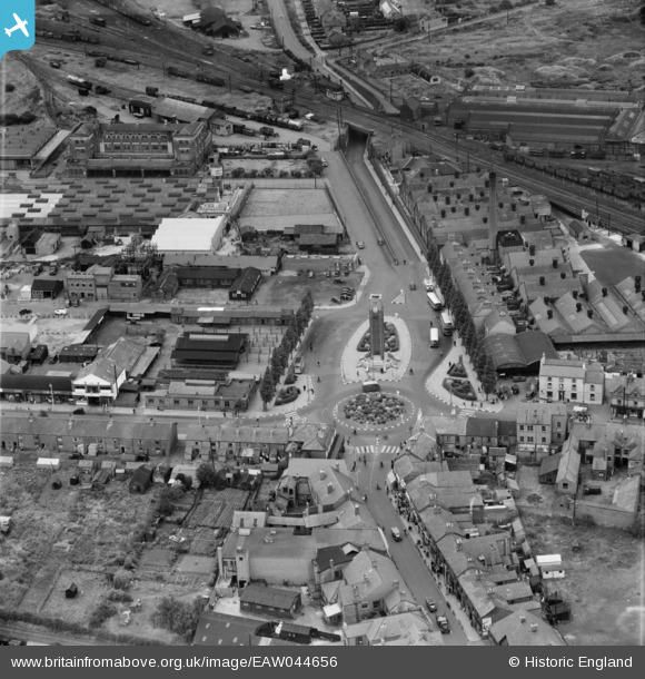
EAW044656 ENGLAND (1952). Memorial Square, Snibston, 1952
© Copyright OpenStreetMap contributors and licensed by the OpenStreetMap Foundation. 2024. Cartography is licensed as CC BY-SA.
Nearby Images (12)
EAW044656

EAW044657

EPW015171

EPW015165

EAW044570

EAW044571

EAW044569

EAW044572

EAW044573

EAW044568

EAW044567

EPW015172

Details
| Title | [EAW044656] Memorial Square, Snibston, 1952 |
| Reference | EAW044656 |
| Date | 15-July-1952 |
| Link | |
| Place name | SNIBSTON |
| Parish | |
| District | |
| Country | ENGLAND |
| Easting / Northing | 442334, 314459 |
| Longitude / Latitude | -1.3730891241499, 52.725777281833 |
| National Grid Reference | SK423145 |
Pins
Be the first to add a comment to this image!
User Comment Contributions
This is actually Memorial Square, Coalville. New Snibston begins to the left of this photograph, |
 smd1uk |
Thursday 24th of July 2014 09:05:39 PM |