
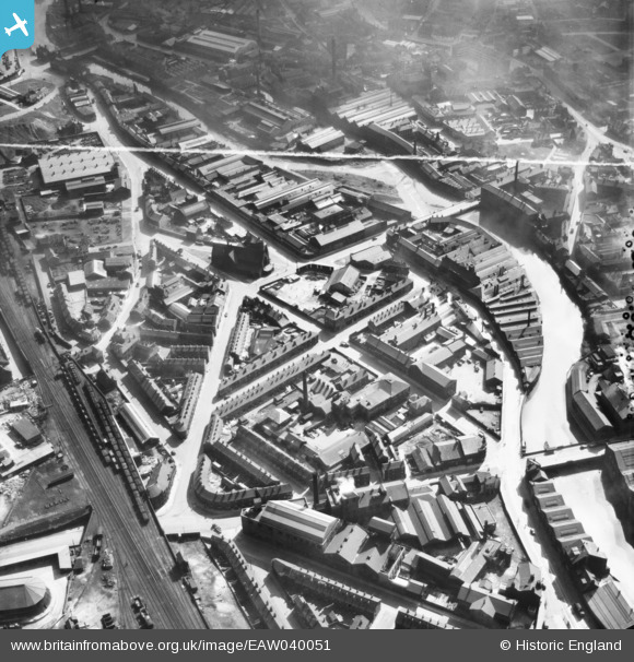
EAW040051 ENGLAND (1951). St Michael & All Angels' Church, Burton Road and the surrounding area, Sheffield, 1951. This image was marked by Aerofilms Ltd for photo editing.
© Copyright OpenStreetMap contributors and licensed by the OpenStreetMap Foundation. 2024. Cartography is licensed as CC BY-SA.
Nearby Images (11)
EAW040051

EAW040048

EAW040053

EAW040052

EAW040050

EAW040049

EAW040059

EAW040056

EAW040058

EAW038435

EAW038434

Details
| Title | [EAW040051] St Michael & All Angels' Church, Burton Road and the surrounding area, Sheffield, 1951. This image was marked by Aerofilms Ltd for photo editing. |
| Reference | EAW040051 |
| Date | 17-September-1951 |
| Link | |
| Place name | SHEFFIELD |
| Parish | |
| District | |
| Country | ENGLAND |
| Easting / Northing | 434988, 388478 |
| Longitude / Latitude | -1.4738229508233, 53.391715082997 |
| National Grid Reference | SK350885 |
Pins
Be the first to add a comment to this image!


