
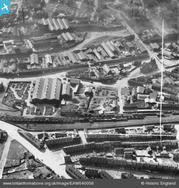
EAW040056 ENGLAND (1951). The Neepsend Steel and Tool Corporation Works off Mowbray Street and environs, Sheffield, 1951. This image was marked by Aerofilms Ltd for photo editing.
© Copyright OpenStreetMap contributors and licensed by the OpenStreetMap Foundation. 2024. Cartography is licensed as CC BY-SA.
Nearby Images (14)
EAW040056

EAW040059

EAW040054

EAW040055

EAW040057

EAW038435

EAW040058

EAW038434

EAW038429

EAW038433

EAW038428

EAW040051

EAW040050

EAW038432

Details
| Title | [EAW040056] The Neepsend Steel and Tool Corporation Works off Mowbray Street and environs, Sheffield, 1951. This image was marked by Aerofilms Ltd for photo editing. |
| Reference | EAW040056 |
| Date | 17-September-1951 |
| Link | |
| Place name | SHEFFIELD |
| Parish | |
| District | |
| Country | ENGLAND |
| Easting / Northing | 435223, 388412 |
| Longitude / Latitude | -1.470296367115, 53.391106167423 |
| National Grid Reference | SK352884 |
Pins
 neddy |
Wednesday 3rd of December 2014 09:20:56 PM | |
Anil |
Wednesday 12th of November 2014 03:04:03 PM | |
Anil |
Wednesday 12th of November 2014 03:01:57 PM | |
Anil |
Wednesday 12th of November 2014 03:01:39 PM | |
Anil |
Wednesday 12th of November 2014 03:01:17 PM | |
Anil |
Wednesday 12th of November 2014 03:00:31 PM |


