
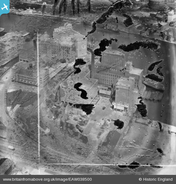
EAW038500 ENGLAND (1951). The Joseph Rank Ltd Ocean Flour Mills, Poulton, 1951. This image has been produced from a damaged negative.
© Copyright OpenStreetMap contributors and licensed by the OpenStreetMap Foundation. 2024. Cartography is licensed as CC BY-SA.
Nearby Images (21)
EAW038500

EAW038502

EAW036052

EAW038508

EAW036048

EAW036053

EAW038505

EAW038501

EAW036050

EAW038507

EAW036054

EAW036051

EAW038504

EAW038503

EAW036049

EAW038506

EAW001724

EPW041994

EPW041997

EPW041995

EAW001790

Details
| Title | [EAW038500] The Joseph Rank Ltd Ocean Flour Mills, Poulton, 1951. This image has been produced from a damaged negative. |
| Reference | EAW038500 |
| Date | 1-August-1951 |
| Link | |
| Place name | POULTON |
| Parish | |
| District | |
| Country | ENGLAND |
| Easting / Northing | 330397, 390162 |
| Longitude / Latitude | -3.047044525931, 53.403422675188 |
| National Grid Reference | SJ304902 |
Pins
Be the first to add a comment to this image!
User Comment Contributions
Actually in Birkenhead - Poulton is on the far side of the Float |
 Pete65 |
Saturday 26th of July 2014 05:34:23 PM |


