
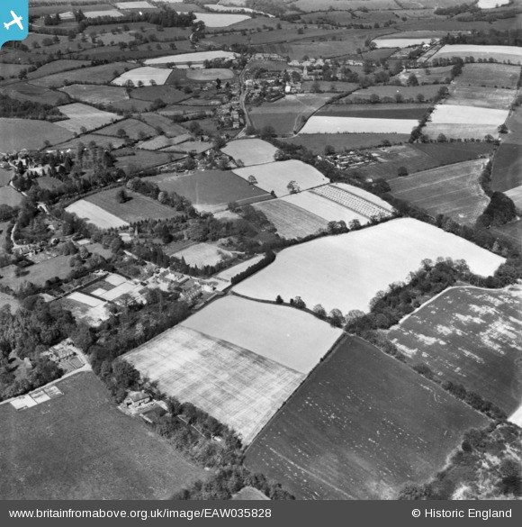
EAW035828 ENGLAND (1951). Landhurst and the surrounding area, Hartfield, 1951. This image has been produced from a print.
© Copyright OpenStreetMap contributors and licensed by the OpenStreetMap Foundation. 2024. Cartography is licensed as CC BY-SA.
Nearby Images (13)
EAW035828

EAW036351

EAW036352

EAW036350

EAW036347

EAW036346

EAW036345

EAW035830

EAW036349

EAW036348

EAW035829

EAW035826

EAW035827

Details
| Title | [EAW035828] Landhurst and the surrounding area, Hartfield, 1951. This image has been produced from a print. |
| Reference | EAW035828 |
| Date | 12-May-1951 |
| Link | |
| Place name | HARTFIELD |
| Parish | HARTFIELD |
| District | |
| Country | ENGLAND |
| Easting / Northing | 547462, 134870 |
| Longitude / Latitude | 0.10605077128406, 51.093624194113 |
| National Grid Reference | TQ475349 |
Pins
Be the first to add a comment to this image!