
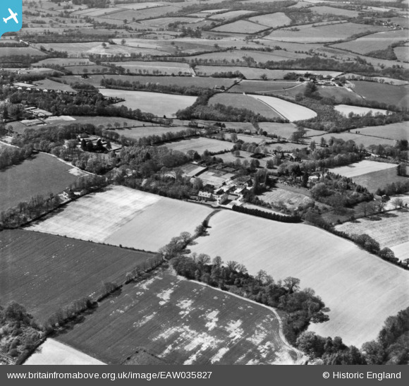
EAW035827 ENGLAND (1951). Landhurst and the surrounding countryside, Hartfield, 1951. This image has been produced from a print.
© Copyright OpenStreetMap contributors and licensed by the OpenStreetMap Foundation. 2024. Cartography is licensed as CC BY-SA.
Nearby Images (13)
EAW035827

EAW035826

EAW036349

EAW036348

EAW035829

EAW035830

EAW036345

EAW036346

EAW036350

EAW036347

EAW036352

EAW036351

EAW035828

Details
| Title | [EAW035827] Landhurst and the surrounding countryside, Hartfield, 1951. This image has been produced from a print. |
| Reference | EAW035827 |
| Date | 12-May-1951 |
| Link | |
| Place name | HARTFIELD |
| Parish | HARTFIELD |
| District | |
| Country | ENGLAND |
| Easting / Northing | 547302, 134833 |
| Longitude / Latitude | 0.10375220897664, 51.093332799116 |
| National Grid Reference | TQ473348 |
Pins
 john bagley |
Thursday 24th of September 2020 01:34:34 PM | |
john bagley |
Thursday 24th of September 2020 01:32:18 PM |