
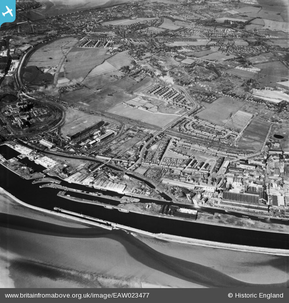
EAW023477 ENGLAND (1949). The New and Old Basins on the Manchester Ship Canal, Sandy Lane and environs, Weston Point, 1949
© Copyright OpenStreetMap contributors and licensed by the OpenStreetMap Foundation. 2024. Cartography is licensed as CC BY-SA.
Nearby Images (2)
EAW023477

EAW021993

Details
| Title | [EAW023477] The New and Old Basins on the Manchester Ship Canal, Sandy Lane and environs, Weston Point, 1949 |
| Reference | EAW023477 |
| Date | 26-May-1949 |
| Link | |
| Place name | WESTON POINT |
| Parish | |
| District | |
| Country | ENGLAND |
| Easting / Northing | 349850, 381396 |
| Longitude / Latitude | -2.7530536060122, 53.326833259391 |
| National Grid Reference | SJ499814 |
Pins
Be the first to add a comment to this image!