
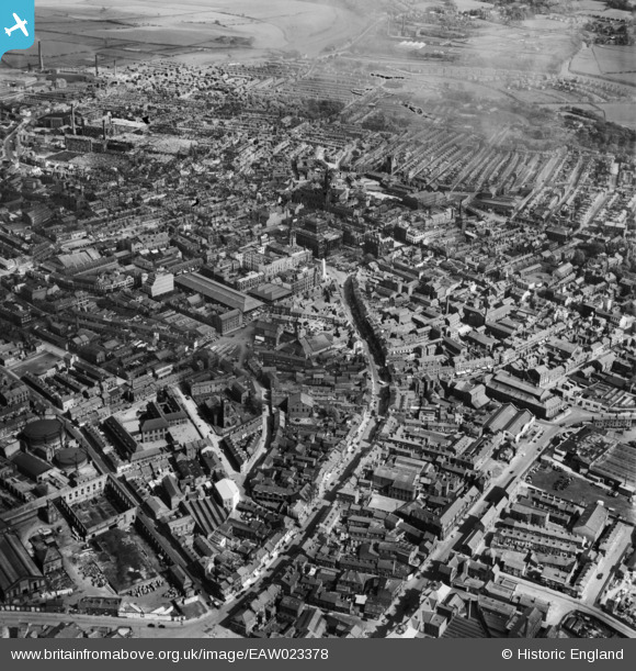
EAW023378 ENGLAND (1949). The city centre, Preston, 1949. This image has been produced from a damaged negative.
© Copyright OpenStreetMap contributors and licensed by the OpenStreetMap Foundation. 2024. Cartography is licensed as CC BY-SA.
Nearby Images (10)
EAW023378

EAW023379

EPW055130

EPW055134

EPW055131

EAW023377

EPW004018

EPW055144

EPW004019

EPW004017

Details
| Title | [EAW023378] The city centre, Preston, 1949. This image has been produced from a damaged negative. |
| Reference | EAW023378 |
| Date | 25-May-1949 |
| Link | |
| Place name | PRESTON |
| Parish | |
| District | |
| Country | ENGLAND |
| Easting / Northing | 353886, 429531 |
| Longitude / Latitude | -2.6995518049518, 53.759872969713 |
| National Grid Reference | SD539295 |
Pins
Be the first to add a comment to this image!