
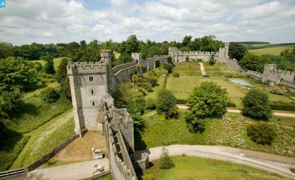
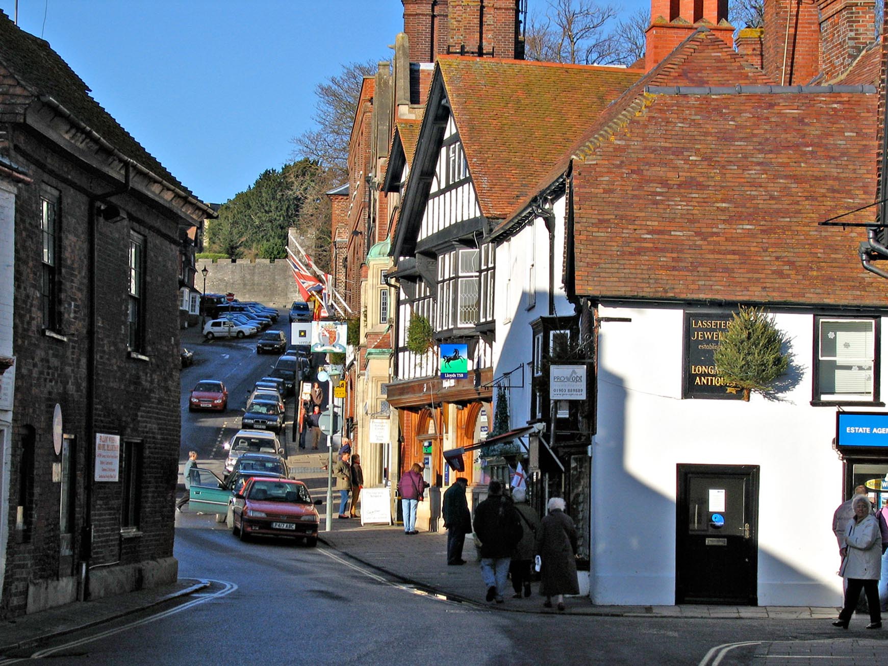
EAW021573 ENGLAND (1949). Arundel Castle, Arundel, from the south, 1949. This image has been produced from a print.

© Copyright OpenStreetMap contributors and licensed by the OpenStreetMap Foundation. 2024. Cartography is licensed as CC BY-SA.
Nearby Images (13)
EAW021573

EAW050662

EAW021574

EAW021572

EPW000685

EPW000686

EAW050664

EPW018264

EAW050661

EPW000726

EAW021571

EAW021576

EAW021569

Details
| Title | [EAW021573] Arundel Castle, Arundel, from the south, 1949. This image has been produced from a print. |
| Reference | EAW021573 |
| Date | 21-March-1949 |
| Link | |
| Place name | ARUNDEL |
| Parish | ARUNDEL |
| District | |
| Country | ENGLAND |
| Easting / Northing | 501875, 107121 |
| Longitude / Latitude | -0.55252604532923, 50.854063020266 |
| National Grid Reference | TQ019071 |
Pins
 Alan McFaden |
Monday 8th of September 2014 11:01:27 AM | |
Alan McFaden |
Monday 8th of September 2014 09:59:30 AM | |
Alan McFaden |
Monday 8th of September 2014 09:59:04 AM | |
Alan McFaden |
Monday 8th of September 2014 09:57:38 AM | |
Alan McFaden |
Monday 8th of September 2014 09:57:05 AM | |
Alan McFaden |
Monday 8th of September 2014 09:56:34 AM |


User Comment Contributions
 Arundel |
Alan McFaden |
Monday 8th of September 2014 10:00:11 AM |
 Arundel |
Alan McFaden |
Monday 8th of September 2014 09:59:50 AM |
 View from the Castle |
Alan McFaden |
Monday 8th of September 2014 09:58:24 AM |
 View from the Castle |
Alan McFaden |
Monday 8th of September 2014 09:58:00 AM |