
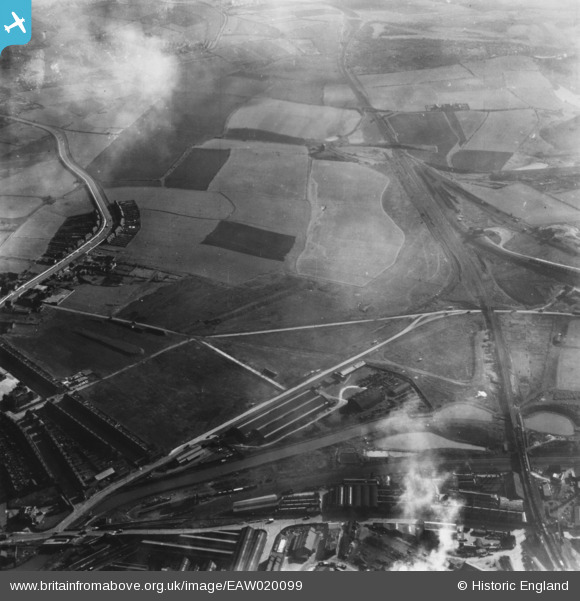
EAW020099 ENGLAND (1948). Fields between the Treeton and Brightside Railway and Bawtry Road, Tinsley, 1948. This image has been produced from a print.
© Copyright OpenStreetMap contributors and licensed by the OpenStreetMap Foundation. 2024. Cartography is licensed as CC BY-SA.
Nearby Images (7)
EAW020099

EAW020100

EAW020097

EAW020096

EAW020101

EAW020098

EAW020102

Details
| Title | [EAW020099] Fields between the Treeton and Brightside Railway and Bawtry Road, Tinsley, 1948. This image has been produced from a print. |
| Reference | EAW020099 |
| Date | 19-October-1948 |
| Link | |
| Place name | TINSLEY |
| Parish | |
| District | |
| Country | ENGLAND |
| Easting / Northing | 440069, 390275 |
| Longitude / Latitude | -1.3971869642759, 53.407507361145 |
| National Grid Reference | SK401903 |
Pins
 Class31 |
Monday 20th of July 2015 10:58:47 AM | |
Class31 |
Monday 20th of July 2015 10:57:49 AM | |
Class31 |
Monday 20th of July 2015 10:52:22 AM | |
Class31 |
Monday 20th of July 2015 10:50:51 AM | |
Class31 |
Monday 20th of July 2015 10:50:12 AM | |
Class31 |
Monday 20th of July 2015 10:49:08 AM | |
Class31 |
Monday 20th of July 2015 10:46:10 AM |

User Comment Contributions
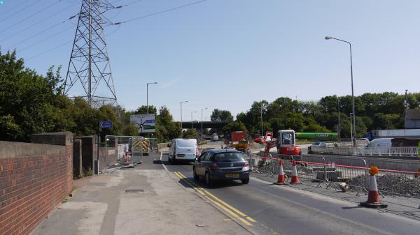
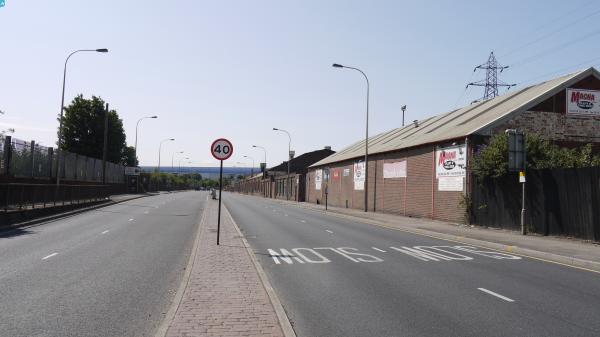
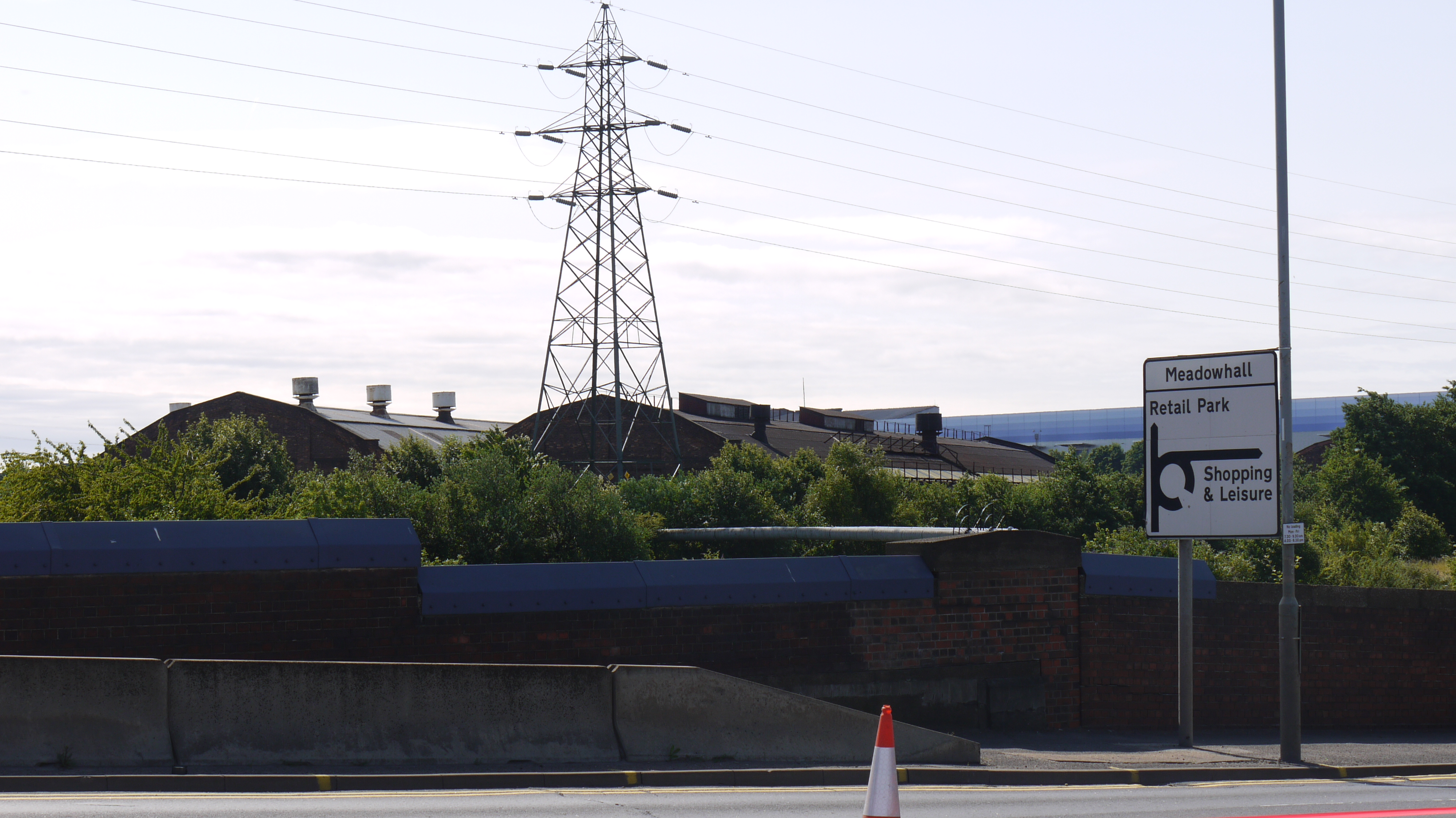
 Looking south west from Sheffield Road A6178, Tinsley, 15/07/2015 |
Class31 |
Monday 20th of July 2015 11:01:15 AM |
 Looking south west from Sheffield Road A6178, Tinsley, 15/07/2015 |
Class31 |
Monday 20th of July 2015 10:59:59 AM |
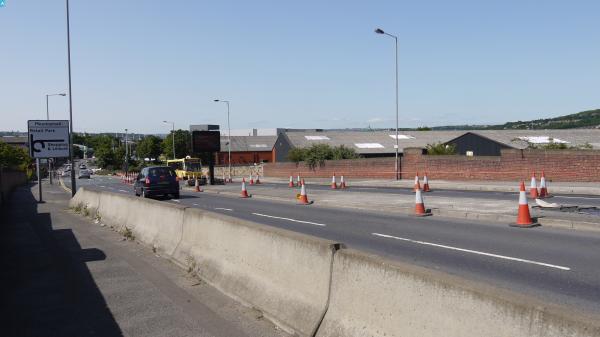
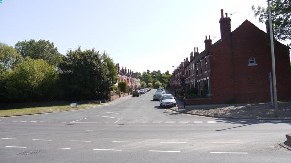
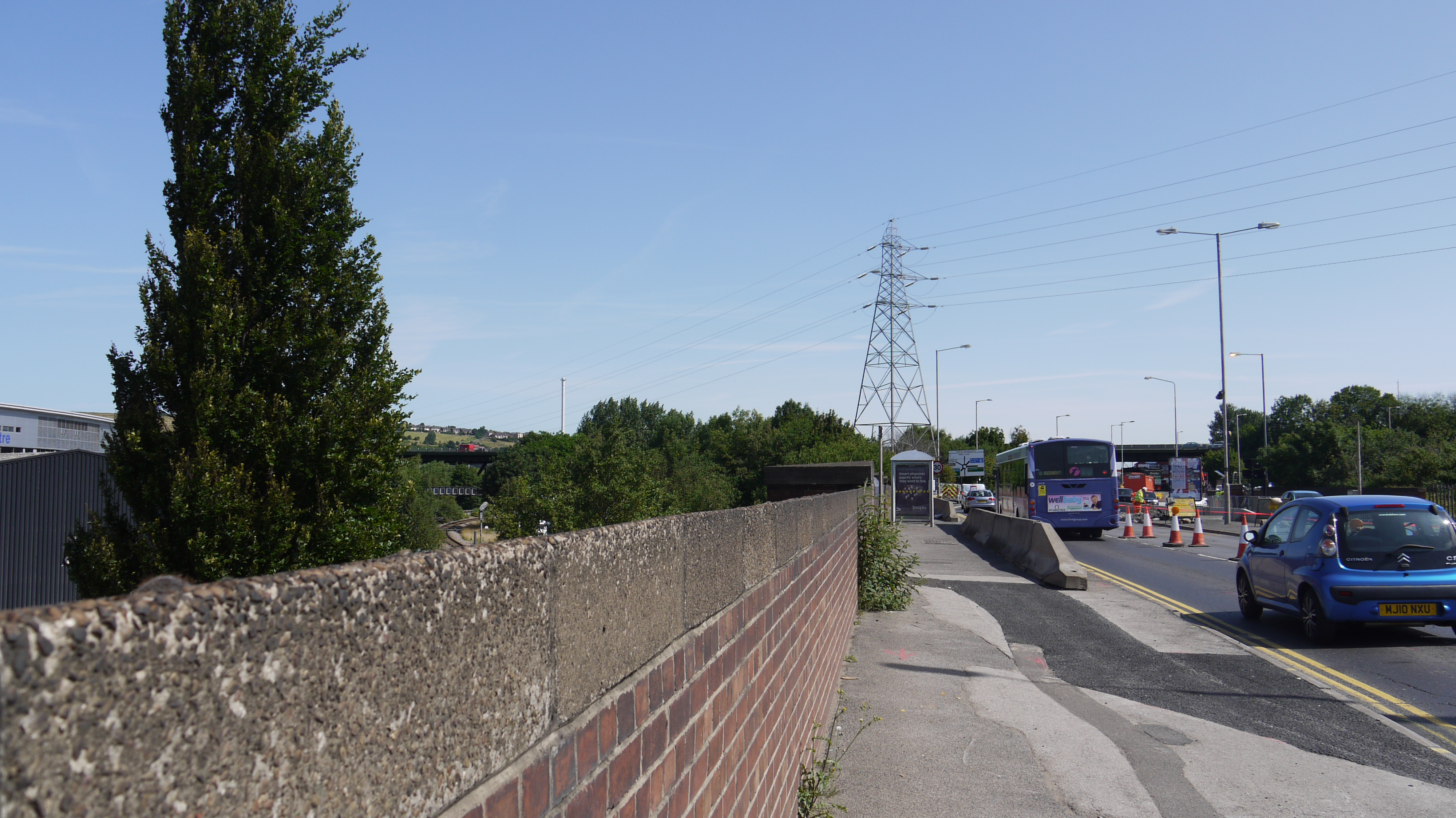 Sheffield Road A6178, Tinsley, 15/07/2015 |
Class31 |
Monday 20th of July 2015 10:59:27 AM |
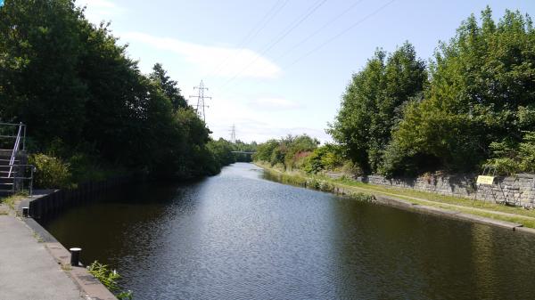
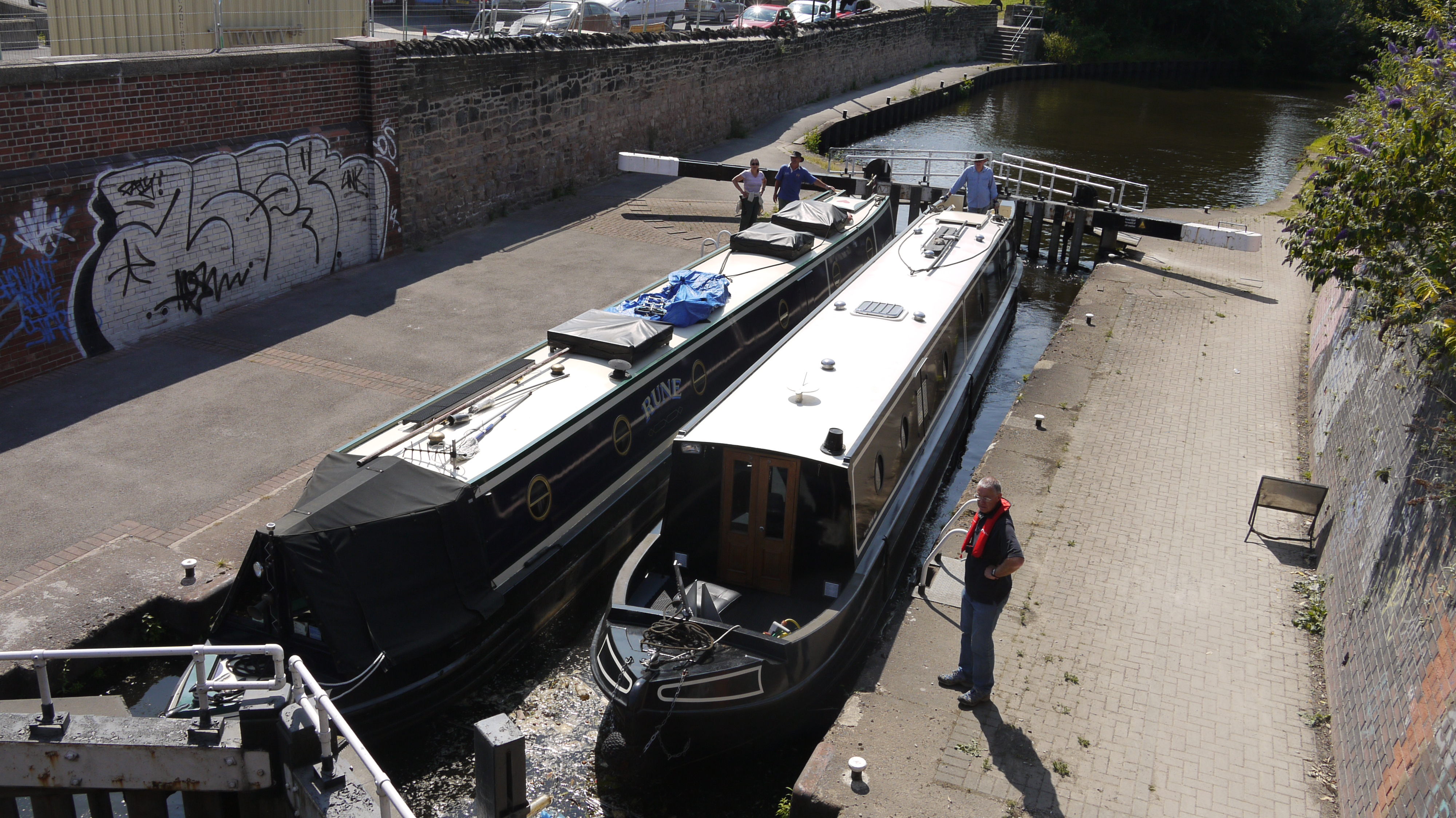 Tinsley Locks, 15/07/2015 |
Class31 |
Monday 20th of July 2015 10:51:34 AM |


