
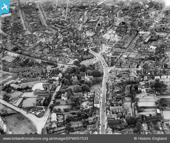
EPW057533 ENGLAND (1938). The High Street and environs, Lye, 1938
© Hawlfraint cyfranwyr OpenStreetMap a thrwyddedwyd gan yr OpenStreetMap Foundation. 2024. Trwyddedir y gartograffeg fel CC BY-SA.
Delweddau cyfagos (2)
EPW057533

EPW057532

Manylion
| Pennawd | [EPW057533] The High Street and environs, Lye, 1938 |
| Cyfeirnod | EPW057533 |
| Dyddiad | 9-June-1938 |
| Dolen | |
| Enw lle | LYE |
| Plwyf | |
| Ardal | |
| Gwlad | ENGLAND |
| Dwyreiniad / Gogleddiad | 392429, 284380 |
| Hydred / Lledred | -2.1114319461369, 52.456946385833 |
| Cyfeirnod Grid Cenedlaethol | SO924844 |
Pinnau
 reg instone |
Saturday 21st of February 2015 02:28:07 AM | |
reg instone |
Saturday 21st of February 2015 02:26:14 AM | |
reg instone |
Saturday 21st of February 2015 02:25:39 AM |
Cyfraniadau Grŵp
Looking east along High St, towards Cradley |
reg instone |
Saturday 21st of February 2015 02:29:25 AM |


