
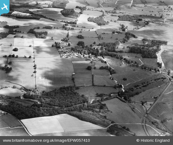
EPW057410 ENGLAND (1938). Mottisfont Abbey, the village and surrounding countryside, Mottisfont, 1938
© Hawlfraint cyfranwyr OpenStreetMap a thrwyddedwyd gan yr OpenStreetMap Foundation. 2024. Trwyddedir y gartograffeg fel CC BY-SA.
Delweddau cyfagos (2)
EPW057410

EPW057411

Manylion
| Pennawd | [EPW057410] Mottisfont Abbey, the village and surrounding countryside, Mottisfont, 1938 |
| Cyfeirnod | EPW057410 |
| Dyddiad | 3-June-1938 |
| Dolen | |
| Enw lle | MOTTISFONT |
| Plwyf | MOTTISFONT |
| Ardal | |
| Gwlad | ENGLAND |
| Dwyreiniad / Gogleddiad | 432562, 126465 |
| Hydred / Lledred | -1.5355469749703, 51.036083945003 |
| Cyfeirnod Grid Cenedlaethol | SU326265 |
Pinnau
 Lee |
Wednesday 23rd of October 2013 05:39:46 AM | |
Lee |
Wednesday 23rd of October 2013 05:39:03 AM | |
Lee |
Wednesday 23rd of October 2013 05:38:05 AM | |
Lee |
Wednesday 23rd of October 2013 05:36:32 AM | |
Lee |
Wednesday 23rd of October 2013 05:36:27 AM | |
 totoro |
Monday 12th of August 2013 09:58:10 PM | |
totoro |
Monday 12th of August 2013 09:56:46 PM |


