
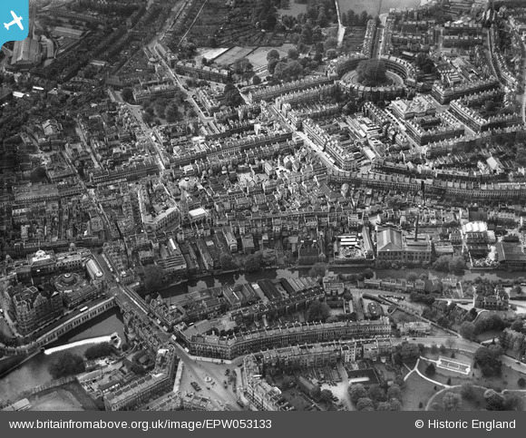
EPW053133 ENGLAND (1937). The city centre, Bath, 1937
© Hawlfraint cyfranwyr OpenStreetMap a thrwyddedwyd gan yr OpenStreetMap Foundation. 2024. Trwyddedir y gartograffeg fel CC BY-SA.
Delweddau cyfagos (21)
EPW053133

EPW053127

EPW053130

EPW053134

EPW053128

EPW053138

EPW053129

EPW001958

EPW053131

EPW053135

EPW053136

EPW053132

EPR000133

EPW053137

EAW000761

EPW033154

EPW048393

EAW000744

EPR000129

EPW001951

EPW001950

Manylion
| Pennawd | [EPW053133] The city centre, Bath, 1937 |
| Cyfeirnod | EPW053133 |
| Dyddiad | 19-May-1937 |
| Dolen | |
| Enw lle | BATH |
| Plwyf | |
| Ardal | |
| Gwlad | ENGLAND |
| Dwyreiniad / Gogleddiad | 375039, 165091 |
| Hydred / Lledred | -2.3587262619314, 51.383819547544 |
| Cyfeirnod Grid Cenedlaethol | ST750651 |
Pinnau
 Class31 |
Thursday 12th of February 2015 07:06:56 PM | |
Class31 |
Thursday 12th of February 2015 08:53:47 AM | |
 H Campbell |
Wednesday 11th of February 2015 09:49:54 PM | |
H Campbell |
Wednesday 11th of February 2015 09:49:19 PM | |
H Campbell |
Wednesday 11th of February 2015 09:46:03 PM | |
H Campbell |
Wednesday 11th of February 2015 09:45:26 PM | |
H Campbell |
Wednesday 11th of February 2015 09:45:02 PM | |
Class31 |
Thursday 15th of May 2014 04:22:39 PM | |
H Campbell |
Saturday 11th of January 2014 12:03:52 AM |

Cyfraniadau Grŵp
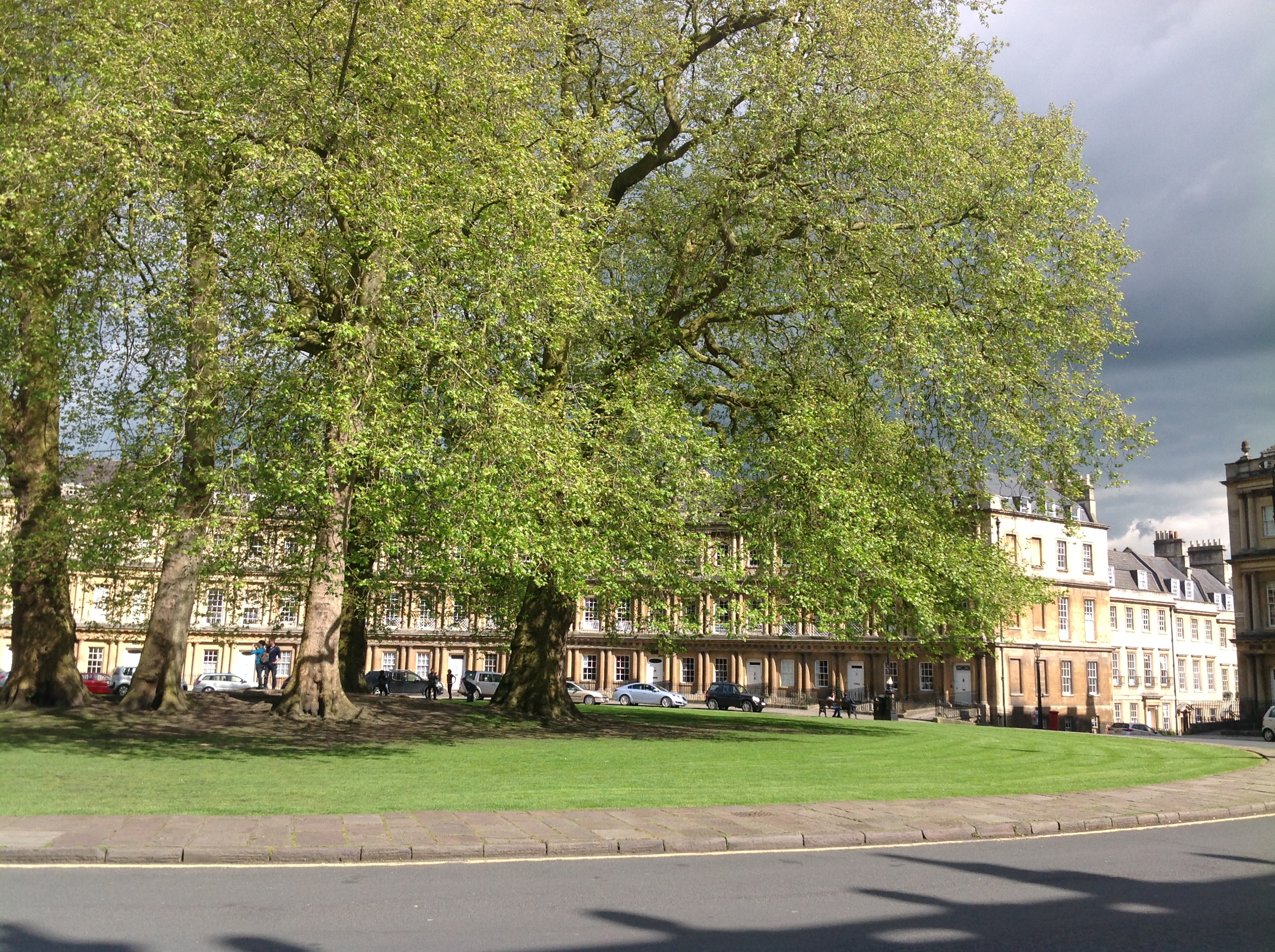 The Circus, Bath 14/05/2014 |
Class31 |
Thursday 15th of May 2014 04:23:36 PM |


