
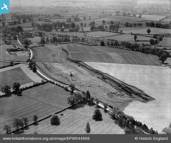
EPW044968 ENGLAND (1934). A Romano British burial ground site and surrounding countryside, Bloxham, 1934
© Hawlfraint cyfranwyr OpenStreetMap a thrwyddedwyd gan yr OpenStreetMap Foundation. 2024. Trwyddedir y gartograffeg fel CC BY-SA.
Delweddau cyfagos (5)
EPW044968

EPW044970

EPW044969

EPW044967

EPW044966

Manylion
| Pennawd | [EPW044968] A Romano British burial ground site and surrounding countryside, Bloxham, 1934 |
| Cyfeirnod | EPW044968 |
| Dyddiad | June-1934 |
| Dolen | |
| Enw lle | BLOXHAM |
| Plwyf | BLOXHAM |
| Ardal | |
| Gwlad | ENGLAND |
| Dwyreiniad / Gogleddiad | 442206, 235828 |
| Hydred / Lledred | -1.3848849210624, 52.018843872488 |
| Cyfeirnod Grid Cenedlaethol | SP422358 |
Pinnau
 Ged |
Wednesday 20th of September 2023 05:31:51 PM | |
Ged |
Wednesday 20th of September 2023 05:31:20 PM | |
Ged |
Wednesday 12th of October 2022 03:32:20 PM | |
John W |
Tuesday 20th of December 2016 05:57:11 PM | |
 Class31 |
Wednesday 6th of May 2015 08:47:37 AM |


