
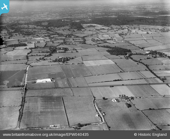
EPW040435 ENGLAND (1932). Alma Food Products Ltd and surrounding countryside, Great Warley, from the south, 1932
© Hawlfraint cyfranwyr OpenStreetMap a thrwyddedwyd gan yr OpenStreetMap Foundation. 2024. Trwyddedir y gartograffeg fel CC BY-SA.
Delweddau cyfagos (5)
EPW040435

EPW040436

EPW040433

EPW040434

EPW040437

Manylion
| Pennawd | [EPW040435] Alma Food Products Ltd and surrounding countryside, Great Warley, from the south, 1932 |
| Cyfeirnod | EPW040435 |
| Dyddiad | September-1932 |
| Dolen | |
| Enw lle | GREAT WARLEY |
| Plwyf | |
| Ardal | |
| Gwlad | ENGLAND |
| Dwyreiniad / Gogleddiad | 559922, 187781 |
| Hydred / Lledred | 0.30761132000599, 51.565718870639 |
| Cyfeirnod Grid Cenedlaethol | TQ599878 |
Pinnau
 Maurice |
Thursday 9th of October 2014 06:47:35 AM | |
Maurice |
Thursday 9th of October 2014 06:46:50 AM | |
Maurice |
Thursday 9th of October 2014 06:46:13 AM | |
Maurice |
Thursday 9th of October 2014 06:45:03 AM | |
Maurice |
Thursday 9th of October 2014 06:44:03 AM |