
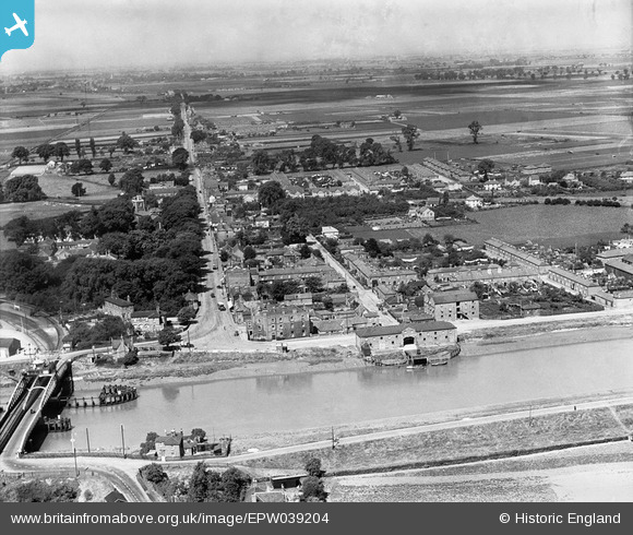
EPW039204 ENGLAND (1932). Bridge Road and environs, Sutton Bridge, from the south-east, 1932
© Hawlfraint cyfranwyr OpenStreetMap a thrwyddedwyd gan yr OpenStreetMap Foundation. 2024. Trwyddedir y gartograffeg fel CC BY-SA.
Delweddau cyfagos (2)
EPW039204

EPW039205

Manylion
| Pennawd | [EPW039204] Bridge Road and environs, Sutton Bridge, from the south-east, 1932 |
| Cyfeirnod | EPW039204 |
| Dyddiad | July-1932 |
| Dolen | |
| Enw lle | SUTTON BRIDGE |
| Plwyf | SUTTON BRIDGE |
| Ardal | |
| Gwlad | ENGLAND |
| Dwyreiniad / Gogleddiad | 548253, 321127 |
| Hydred / Lledred | 0.19763849598738, 52.767027193677 |
| Cyfeirnod Grid Cenedlaethol | TF483211 |
Pinnau
 pf329 |
Saturday 11th of July 2015 05:33:37 PM | |
pf329 |
Saturday 11th of July 2015 05:29:20 PM | |
pf329 |
Saturday 11th of July 2015 05:26:36 PM | |
pf329 |
Saturday 11th of July 2015 05:18:52 PM | |
pf329 |
Saturday 11th of July 2015 05:18:11 PM | |
pf329 |
Saturday 11th of July 2015 04:41:14 PM | |
Peter |
Friday 21st of February 2014 09:25:15 PM |