
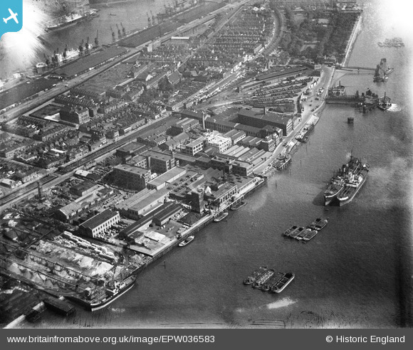
EPW036583 ENGLAND (1931). W.T. Henley's Electric Cable Works and other factories and wharves, North Woolwich, 1931
© Hawlfraint cyfranwyr OpenStreetMap a thrwyddedwyd gan yr OpenStreetMap Foundation. 2024. Trwyddedir y gartograffeg fel CC BY-SA.
Delweddau cyfagos (31)
EPW036583

EAW008315

EPW008295

EPW050840

EPW036586

EPW050842

EPW036584

EAW005312

EPW057950

EPW036585

EPW057948

EAW005311

EPW057947

EPW057953

EAW005313

EAW005315

EAW005310

EAW008316

EAW005317

EPW057949

EPW050841

EAW005316

EPW050843

EPW050844

EPW057954

EAW005319

EAW005318

EAW008314

EAW005314

EPW006145

EPW024252

Manylion
| Pennawd | [EPW036583] W.T. Henley's Electric Cable Works and other factories and wharves, North Woolwich, 1931 |
| Cyfeirnod | EPW036583 |
| Dyddiad | September-1931 |
| Dolen | |
| Enw lle | NORTH WOOLWICH |
| Plwyf | |
| Ardal | |
| Gwlad | ENGLAND |
| Dwyreiniad / Gogleddiad | 542846, 179813 |
| Hydred / Lledred | 0.05816004846174, 51.49869836255 |
| Cyfeirnod Grid Cenedlaethol | TQ428798 |
Pinnau
 Starbug |
Monday 8th of July 2019 09:06:42 PM | |
Starbug |
Monday 8th of July 2019 09:04:10 PM | |
John W |
Monday 2nd of May 2016 06:09:11 PM | |
John W |
Monday 2nd of May 2016 06:08:23 PM | |
John W |
Monday 2nd of May 2016 06:07:36 PM |


