
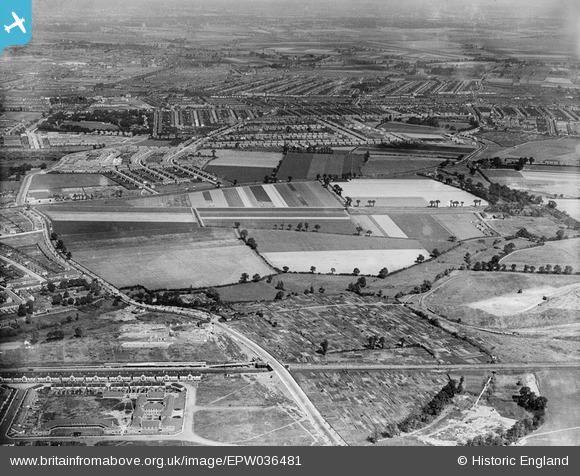
EPW036481 ENGLAND (1931). Upney Lane and the site of the Leftley Estate, Barking, 1931
© Hawlfraint cyfranwyr OpenStreetMap a thrwyddedwyd gan yr OpenStreetMap Foundation. 2024. Trwyddedir y gartograffeg fel CC BY-SA.
Delweddau cyfagos (4)
EPW036481

EAW043573

EPW006553

EAW043572

Manylion
| Pennawd | [EPW036481] Upney Lane and the site of the Leftley Estate, Barking, 1931 |
| Cyfeirnod | EPW036481 |
| Dyddiad | August-1931 |
| Dolen | |
| Enw lle | BARKING |
| Plwyf | |
| Ardal | |
| Gwlad | ENGLAND |
| Dwyreiniad / Gogleddiad | 545817, 184994 |
| Hydred / Lledred | 0.10308069987448, 51.544498292914 |
| Cyfeirnod Grid Cenedlaethol | TQ458850 |
Pinnau
 Mags |
Thursday 27th of February 2020 04:12:23 PM | |
Chelsea61 |
Monday 5th of December 2016 05:53:48 PM | |
Dave B |
Wednesday 24th of July 2013 09:45:19 PM | |
Dave B |
Wednesday 24th of July 2013 09:43:18 PM | |
Dave B |
Wednesday 24th of July 2013 09:42:18 PM | |
Dave B |
Wednesday 24th of July 2013 09:41:38 PM | |
Dave B |
Wednesday 24th of July 2013 09:41:10 PM | |
Dave B |
Wednesday 24th of July 2013 09:40:26 PM | |
Dave B |
Wednesday 24th of July 2013 09:30:27 PM | |
Chelsea61 |
Wednesday 3rd of July 2013 11:03:23 PM |
Cyfraniadau Grŵp
Anyone got pictures of the Leftley Estate being built ! |
Dave B |
Wednesday 24th of July 2013 09:46:37 PM |


