
EPW033552 ENGLAND (1930). The town, Somerton, from the west, 1930

© Hawlfraint cyfranwyr OpenStreetMap a thrwyddedwyd gan yr OpenStreetMap Foundation. 2024. Trwyddedir y gartograffeg fel CC BY-SA.
Delweddau cyfagos (8)
EPW033552

EPW054771

EPW054770

EPW054769

EPW033554

EPW054767

EPW054765

EPW054766

Manylion
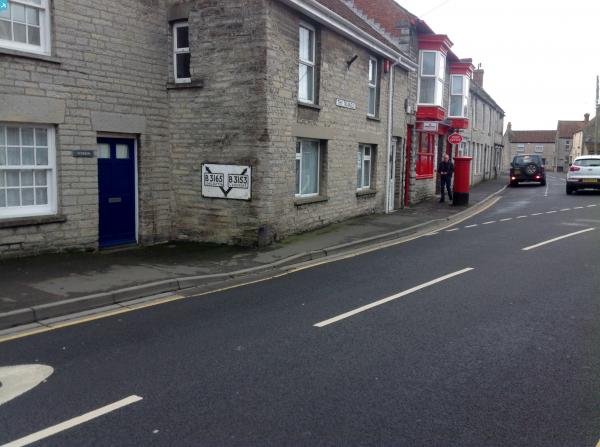
| Pennawd | [EPW033552] The town, Somerton, from the west, 1930 |
| Cyfeirnod | EPW033552 |
| Dyddiad | July-1930 |
| Dolen | |
| Enw lle | SOMERTON |
| Plwyf | SOMERTON |
| Ardal | |
| Gwlad | ENGLAND |
| Dwyreiniad / Gogleddiad | 348526, 128559 |
| Hydred / Lledred | -2.7344855789939, 51.05353092186 |
| Cyfeirnod Grid Cenedlaethol | ST485286 |
Pinnau
 Class31 |
Friday 24th of January 2014 01:38:52 PM | |
Class31 |
Friday 24th of January 2014 12:39:14 PM | |
Class31 |
Friday 24th of January 2014 12:36:31 PM | |
Class31 |
Friday 24th of January 2014 12:34:58 PM | |
 MB |
Friday 29th of March 2013 06:44:53 PM | |
MB |
Friday 29th of March 2013 06:44:16 PM | |
MB |
Friday 29th of March 2013 06:43:02 PM | |
MB |
Friday 29th of March 2013 06:42:39 PM |


Cyfraniadau Grŵp
 St. Michael and All Angels Church 23/01/2014 |
Class31 |
Friday 24th of January 2014 11:03:57 AM |