
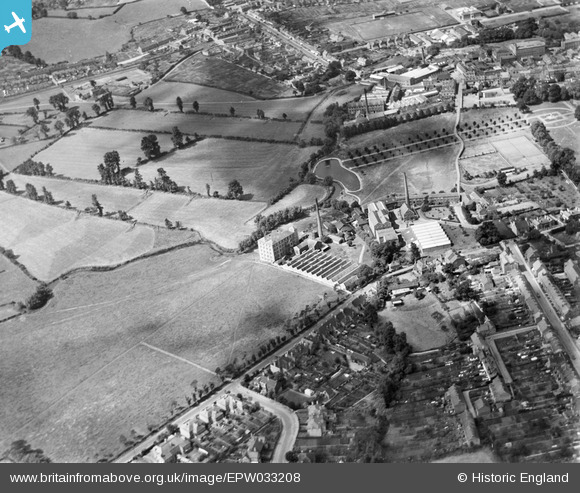
EPW033208 ENGLAND (1930). The Ashton and Court Woollen Mills and environs, Trowbridge, 1930
© Hawlfraint cyfranwyr OpenStreetMap a thrwyddedwyd gan yr OpenStreetMap Foundation. 2024. Trwyddedir y gartograffeg fel CC BY-SA.
Delweddau cyfagos (4)
EPW033208

EPW011149

EPW033207

EPW033205

Manylion
| Pennawd | [EPW033208] The Ashton and Court Woollen Mills and environs, Trowbridge, 1930 |
| Cyfeirnod | EPW033208 |
| Dyddiad | July-1930 |
| Dolen | |
| Enw lle | TROWBRIDGE |
| Plwyf | TROWBRIDGE |
| Ardal | |
| Gwlad | ENGLAND |
| Dwyreiniad / Gogleddiad | 386051, 157680 |
| Hydred / Lledred | -2.2001784713841, 51.317552366142 |
| Cyfeirnod Grid Cenedlaethol | ST861577 |
Pinnau
 p |
Friday 19th of April 2019 07:19:51 PM | |
andy |
Sunday 1st of December 2013 10:24:54 PM | |
andy |
Sunday 1st of December 2013 10:23:17 PM | |
 Class31 |
Thursday 4th of April 2013 08:46:38 AM | |
Gwyn Evans |
Thursday 24th of January 2013 08:52:17 PM | |
Class31 |
Wednesday 12th of December 2012 04:05:52 PM | |
Class31 |
Wednesday 12th of December 2012 04:04:51 PM | |
Class31 |
Wednesday 12th of December 2012 04:04:31 PM | |
Class31 |
Wednesday 12th of December 2012 04:03:17 PM | |
Class31 |
Wednesday 12th of December 2012 04:02:53 PM | |
Class31 |
Wednesday 12th of December 2012 04:02:05 PM | |
Class31 |
Wednesday 12th of December 2012 04:00:37 PM |
