
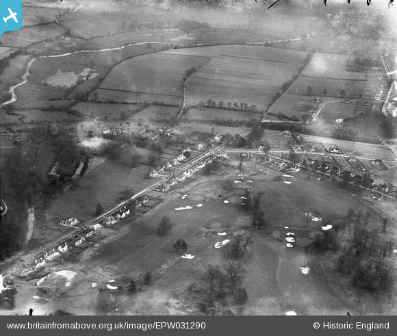
EPW031290 ENGLAND (1930). Sandy Lodge Road and environs, Moor Park, 1930
© Hawlfraint cyfranwyr OpenStreetMap a thrwyddedwyd gan yr OpenStreetMap Foundation. 2024. Trwyddedir y gartograffeg fel CC BY-SA.
Delweddau cyfagos (2)
EPW031290

EPW031287

Manylion
| Pennawd | [EPW031290] Sandy Lodge Road and environs, Moor Park, 1930 |
| Cyfeirnod | EPW031290 |
| Dyddiad | 11-February-1930 |
| Dolen | |
| Enw lle | MOOR PARK |
| Plwyf | |
| Ardal | |
| Gwlad | ENGLAND |
| Dwyreiniad / Gogleddiad | 508169, 193778 |
| Hydred / Lledred | -0.43694394480562, 51.631932512637 |
| Cyfeirnod Grid Cenedlaethol | TQ082938 |
Pinnau
 bondi |
Saturday 24th of October 2015 04:02:30 PM | |
 Class31 |
Monday 22nd of October 2012 12:35:18 PM | |
Class31 |
Friday 19th of October 2012 08:52:13 PM | |
Class31 |
Friday 19th of October 2012 08:17:31 AM | |
Class31 |
Friday 19th of October 2012 08:15:47 AM | |
Class31 |
Friday 19th of October 2012 08:13:07 AM | |
Class31 |
Friday 19th of October 2012 08:12:24 AM | |
Class31 |
Thursday 18th of October 2012 10:41:17 PM | |
Class31 |
Thursday 18th of October 2012 10:41:16 PM | |
Class31 |
Thursday 18th of October 2012 10:40:43 PM | |
Class31 |
Thursday 18th of October 2012 10:40:03 PM |
Cyfraniadau Grŵp
This is Moor Park Golf Course, near Rickmansworth |
Norman Lucey |
Wednesday 5th of December 2012 10:48:29 PM |
This is Sandy Lodge Golf Club, Herts |
Mark Rowlinson |
Sunday 21st of October 2012 06:49:37 PM |


