
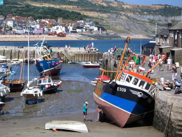
EPW023891 ENGLAND (1928). The town and harbour, Lyme Regis, from the east, 1928

© Hawlfraint cyfranwyr OpenStreetMap a thrwyddedwyd gan yr OpenStreetMap Foundation. 2024. Trwyddedir y gartograffeg fel CC BY-SA.
Delweddau cyfagos (2)
EPW023891

EAW050063

Manylion
| Pennawd | [EPW023891] The town and harbour, Lyme Regis, from the east, 1928 |
| Cyfeirnod | EPW023891 |
| Dyddiad | September-1928 |
| Dolen | |
| Enw lle | LYME REGIS |
| Plwyf | LYME REGIS |
| Ardal | |
| Gwlad | ENGLAND |
| Dwyreiniad / Gogleddiad | 334578, 91846 |
| Hydred / Lledred | -2.9269100516034, 50.721977956372 |
| Cyfeirnod Grid Cenedlaethol | SY346918 |
Pinnau
 Al |
Monday 23rd of October 2023 11:41:18 AM | |
Al |
Monday 23rd of October 2023 11:31:36 AM | |
 Alan McFaden |
Friday 11th of April 2014 09:35:08 AM | |
Alan McFaden |
Friday 11th of April 2014 09:34:21 AM | |
Alan McFaden |
Friday 11th of April 2014 09:33:57 AM | |
 Class31 |
Friday 21st of June 2013 06:58:32 AM | |
Class31 |
Sunday 28th of October 2012 10:56:11 PM | |
Class31 |
Sunday 28th of October 2012 10:55:44 PM |


Cyfraniadau Grŵp
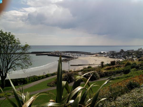
 View towards the town. |
Class31 |
Monday 24th of June 2013 11:55:24 AM |