
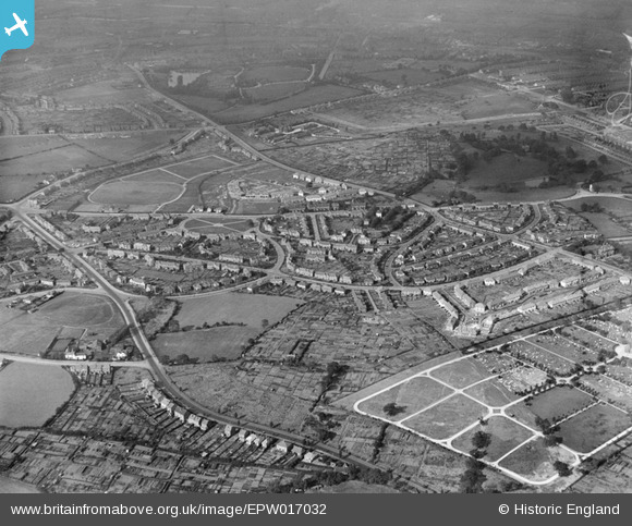
EPW017032 ENGLAND (1926). The Londonderry Lane area, Smethwick, from the south, 1926
© Hawlfraint cyfranwyr OpenStreetMap a thrwyddedwyd gan yr OpenStreetMap Foundation. 2024. Trwyddedir y gartograffeg fel CC BY-SA.
Delweddau cyfagos (3)
EPW017032

EPW038512

EPW038516

Manylion
| Pennawd | [EPW017032] The Londonderry Lane area, Smethwick, from the south, 1926 |
| Cyfeirnod | EPW017032 |
| Dyddiad | 6-October-1926 |
| Dolen | |
| Enw lle | SMETHWICK |
| Plwyf | |
| Ardal | |
| Gwlad | ENGLAND |
| Dwyreiniad / Gogleddiad | 401285, 287376 |
| Hydred / Lledred | -1.9810754667113, 52.483934460011 |
| Cyfeirnod Grid Cenedlaethol | SP013874 |
Pinnau
 Phil Uttley |
Friday 26th of September 2014 03:40:33 PM | |
Phil Uttley |
Friday 26th of September 2014 03:38:50 PM | |
Phil Uttley |
Friday 26th of September 2014 03:38:20 PM | |
Phil Uttley |
Friday 26th of September 2014 03:37:18 PM | |
Phil Uttley |
Friday 26th of September 2014 03:36:59 PM | |
Phil Uttley |
Friday 26th of September 2014 03:36:34 PM | |
Phil Uttley |
Friday 26th of September 2014 03:35:06 PM | |
artscotak2 |
Tuesday 8th of January 2013 03:18:20 PM | |
 The_Zipster |
Monday 30th of July 2012 12:18:08 AM | |
The_Zipster |
Monday 30th of July 2012 12:16:34 AM |


