
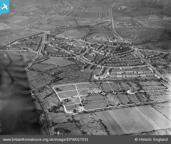
EPW017031 ENGLAND (1926). Londonderry Lane area and the cemetery, Smethwick, from the south-east, 1926
© Hawlfraint cyfranwyr OpenStreetMap a thrwyddedwyd gan yr OpenStreetMap Foundation. 2024. Trwyddedir y gartograffeg fel CC BY-SA.
Delweddau cyfagos (2)
EPW017031

EPW038516

Manylion
| Pennawd | [EPW017031] Londonderry Lane area and the cemetery, Smethwick, from the south-east, 1926 |
| Cyfeirnod | EPW017031 |
| Dyddiad | 6-October-1926 |
| Dolen | |
| Enw lle | SMETHWICK |
| Plwyf | |
| Ardal | |
| Gwlad | ENGLAND |
| Dwyreiniad / Gogleddiad | 401595, 287353 |
| Hydred / Lledred | -1.9765101256262, 52.483726848702 |
| Cyfeirnod Grid Cenedlaethol | SP016874 |
Pinnau
 Toby Bird |
Sunday 12th of February 2017 12:34:41 AM | |
Toby Bird |
Sunday 12th of February 2017 12:34:02 AM | |
Toby Bird |
Sunday 12th of February 2017 12:33:20 AM | |
Toby Bird |
Sunday 12th of February 2017 12:32:37 AM | |
Toby Bird |
Sunday 12th of February 2017 12:31:26 AM | |
artscotak2 |
Saturday 12th of January 2013 06:41:56 PM | |
artscotak2 |
Saturday 12th of January 2013 06:38:44 PM | |
artscotak2 |
Saturday 12th of January 2013 06:36:36 PM | |
artscotak2 |
Saturday 12th of January 2013 06:35:47 PM | |
 The_Zipster |
Sunday 29th of July 2012 11:31:49 PM |


