
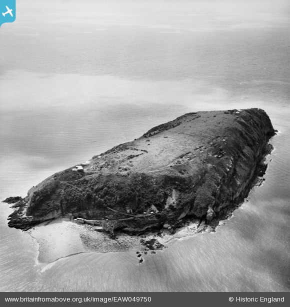
EAW049750 ENGLAND (1953). Steep Holm island, Steep Holm, 1953
© Hawlfraint cyfranwyr OpenStreetMap a thrwyddedwyd gan yr OpenStreetMap Foundation. 2024. Trwyddedir y gartograffeg fel CC BY-SA.
Delweddau cyfagos (7)
EAW049750

EAW049106

EAW049107

EAW049749

EAW049109

EAW049748

EAW049105

Manylion
| Pennawd | [EAW049750] Steep Holm island, Steep Holm, 1953 |
| Cyfeirnod | EAW049750 |
| Dyddiad | 28-May-1953 |
| Dolen | |
| Enw lle | STEEP HOLM |
| Plwyf | WESTON-SUPER-MARE |
| Ardal | |
| Gwlad | ENGLAND |
| Dwyreiniad / Gogleddiad | 323014, 160670 |
| Hydred / Lledred | -3.1053456069401, 51.339396883461 |
| Cyfeirnod Grid Cenedlaethol | ST230607 |
Pinnau
 MB |
Sunday 8th of June 2014 09:48:08 AM | |
MB |
Sunday 8th of June 2014 09:45:55 AM | |
MB |
Sunday 8th of June 2014 09:44:52 AM | |
MB |
Sunday 8th of June 2014 09:44:20 AM | |
MB |
Sunday 8th of June 2014 09:43:14 AM | |
MB |
Sunday 8th of June 2014 09:42:49 AM | |
MB |
Sunday 8th of June 2014 09:41:37 AM | |
MB |
Sunday 8th of June 2014 09:40:46 AM | |
MB |
Sunday 8th of June 2014 09:40:10 AM | |
MB |
Sunday 8th of June 2014 09:39:00 AM | |
MB |
Sunday 8th of June 2014 09:38:26 AM | |
MB |
Sunday 8th of June 2014 09:37:43 AM |