
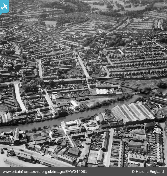
EAW044091 ENGLAND (1952). City Road, the River Derwent and northern suburbs, Derby, from the east, 1952
© Hawlfraint cyfranwyr OpenStreetMap a thrwyddedwyd gan yr OpenStreetMap Foundation. 2024. Trwyddedir y gartograffeg fel CC BY-SA.
Delweddau cyfagos (11)
EAW044091

EAW041474

EAW041471

EAW041469

EAW041473

EAW041476

EAW041470

EAW041477

EAW041475

EAW041472

EAW044089

Manylion
| Pennawd | [EAW044091] City Road, the River Derwent and northern suburbs, Derby, from the east, 1952 |
| Cyfeirnod | EAW044091 |
| Dyddiad | 10-June-1952 |
| Dolen | |
| Enw lle | DERBY |
| Plwyf | |
| Ardal | |
| Gwlad | ENGLAND |
| Dwyreiniad / Gogleddiad | 435310, 336993 |
| Hydred / Lledred | -1.4746621726364, 52.928864470554 |
| Cyfeirnod Grid Cenedlaethol | SK353370 |
Pinnau
 Marco1968 |
Friday 23rd of February 2024 02:15:12 PM | |
jimexplore |
Sunday 2nd of August 2020 07:36:22 PM | |
jimexplore |
Sunday 2nd of August 2020 07:30:01 PM | |
 Peter Kazmierczak |
Saturday 14th of June 2014 12:56:13 PM | |
Peter Kazmierczak |
Saturday 14th of June 2014 12:54:07 PM |


