
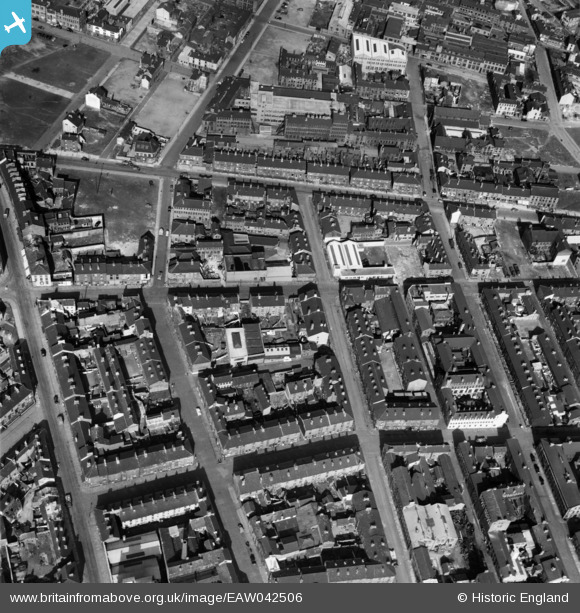
EAW042506 ENGLAND (1952). The residential area surrounding Thomas Street, Sheffield, 1952
© Hawlfraint cyfranwyr OpenStreetMap a thrwyddedwyd gan yr OpenStreetMap Foundation. 2024. Trwyddedir y gartograffeg fel CC BY-SA.
Delweddau cyfagos (4)
EAW042506

EAW025214

EPW055244

EAW025218

Manylion
| Pennawd | [EAW042506] The residential area surrounding Thomas Street, Sheffield, 1952 |
| Cyfeirnod | EAW042506 |
| Dyddiad | 17-April-1952 |
| Dolen | |
| Enw lle | SHEFFIELD |
| Plwyf | |
| Ardal | |
| Gwlad | ENGLAND |
| Dwyreiniad / Gogleddiad | 434771, 386799 |
| Hydred / Lledred | -1.4772711181185, 53.37663644839 |
| Cyfeirnod Grid Cenedlaethol | SK348868 |
Pinnau
 Ginger Ben |
Saturday 19th of September 2020 04:15:10 PM | |
Ginger Ben |
Saturday 19th of September 2020 04:03:20 PM |