
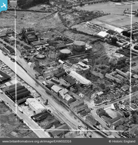
EAW032316 ENGLAND (1950). Frank Pertwee and Sons Ltd Granaries off Hythe Quay and the Gas Works, Colchester, 1950. This image was marked by Aerofilms Ltd for photo editing.
© Hawlfraint cyfranwyr OpenStreetMap a thrwyddedwyd gan yr OpenStreetMap Foundation. 2024. Trwyddedir y gartograffeg fel CC BY-SA.
Delweddau cyfagos (23)
EAW032316

EAW032333

EAW032328

EAW032319

EAW032317

EAW032331

EAW032329

EAW032332

EAW032320

EAW032326

EAW032318

EAW032324

EAW032325

EAW032334

EAW032327

EAW032323

EAW032321

EAW032322

EAW032335

EAW032330

EPW046368

EPW046371

EPW046370

Manylion
| Pennawd | [EAW032316] Frank Pertwee and Sons Ltd Granaries off Hythe Quay and the Gas Works, Colchester, 1950. This image was marked by Aerofilms Ltd for photo editing. |
| Cyfeirnod | EAW032316 |
| Dyddiad | 6-September-1950 |
| Dolen | |
| Enw lle | COLCHESTER |
| Plwyf | |
| Ardal | |
| Gwlad | ENGLAND |
| Dwyreiniad / Gogleddiad | 601446, 224553 |
| Hydred / Lledred | 0.92730528228895, 51.882648206087 |
| Cyfeirnod Grid Cenedlaethol | TM014246 |
Pinnau
 Sparky |
Wednesday 6th of September 2017 07:12:37 PM | |
 HAJ |
Monday 22nd of May 2017 01:19:04 PM | |
HAJ |
Monday 22nd of May 2017 01:16:51 PM | |
J Bois |
Saturday 11th of July 2015 08:28:07 PM | |
HAJ |
Wednesday 21st of May 2014 11:14:31 AM |