
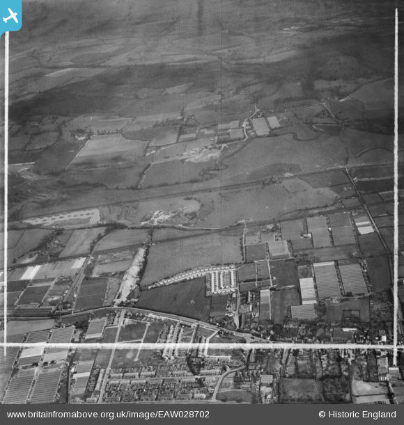
EAW028702 ENGLAND (1950). Gravel workings along the River Lea (or Lee) Navigation, Cheshunt, 1950. This image was marked by Aerofilms Ltd for photo editing.
© Hawlfraint cyfranwyr OpenStreetMap a thrwyddedwyd gan yr OpenStreetMap Foundation. 2024. Trwyddedir y gartograffeg fel CC BY-SA.
Delweddau cyfagos (4)
EAW028702
 Navigation, Cheshunt, 1950. This image was marked by Aerofilms Ltd for photo editing.")
EAW028701
 Navigation, Cheshunt, 1950. This image was marked by Aerofilms Ltd for photo editing.")
EAW028703
 Navigation, Waltham Abbey, 1950. This image was marked by Aerofilms Ltd for photo editing.")
EAW028706
 Navigation, Cheshunt, 1950. This image was marked by Aerofilms Ltd for photo editing.")
Manylion
| Pennawd | [EAW028702] Gravel workings along the River Lea (or Lee) Navigation, Cheshunt, 1950. This image was marked by Aerofilms Ltd for photo editing. |
| Cyfeirnod | EAW028702 |
| Dyddiad | 20-April-1950 |
| Dolen | |
| Enw lle | CHESHUNT |
| Plwyf | |
| Ardal | |
| Gwlad | ENGLAND |
| Dwyreiniad / Gogleddiad | 537069, 203428 |
| Hydred / Lledred | -0.015788837533005, 51.712356327106 |
| Cyfeirnod Grid Cenedlaethol | TL371034 |
Pinnau
 redmist |
Sunday 27th of February 2022 07:35:59 PM | |
redmist |
Sunday 27th of February 2022 07:34:50 PM | |
redmist |
Sunday 27th of February 2022 07:33:20 PM | |
redmist |
Sunday 27th of February 2022 07:31:44 PM | |
Gorlestonspur |
Thursday 19th of December 2019 09:29:28 PM | |
robert |
Friday 17th of May 2019 01:30:45 AM | |
Grk |
Sunday 20th of September 2015 04:48:56 PM | |
Grk |
Sunday 20th of September 2015 04:47:42 PM |


