
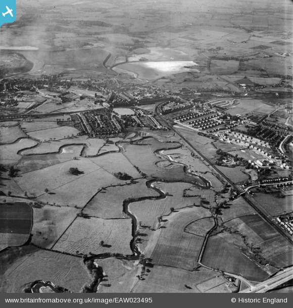
EAW023495 ENGLAND (1949). The River Dane and town, Northwich, from the south-east, 1949
© Hawlfraint cyfranwyr OpenStreetMap a thrwyddedwyd gan yr OpenStreetMap Foundation. 2024. Trwyddedir y gartograffeg fel CC BY-SA.
Delweddau cyfagos (2)
EAW023495

EAW016755

Manylion
| Pennawd | [EAW023495] The River Dane and town, Northwich, from the south-east, 1949 |
| Cyfeirnod | EAW023495 |
| Dyddiad | 26-May-1949 |
| Dolen | |
| Enw lle | NORTHWICH |
| Plwyf | NORTHWICH |
| Ardal | |
| Gwlad | ENGLAND |
| Dwyreiniad / Gogleddiad | 366942, 372690 |
| Hydred / Lledred | -2.4955066607036, 53.249914897561 |
| Cyfeirnod Grid Cenedlaethol | SJ669727 |
Pinnau
 slam13 |
Wednesday 22nd of October 2014 11:17:50 PM | |
slam13 |
Wednesday 22nd of October 2014 11:10:55 PM | |
slam13 |
Wednesday 22nd of October 2014 11:09:31 PM |


