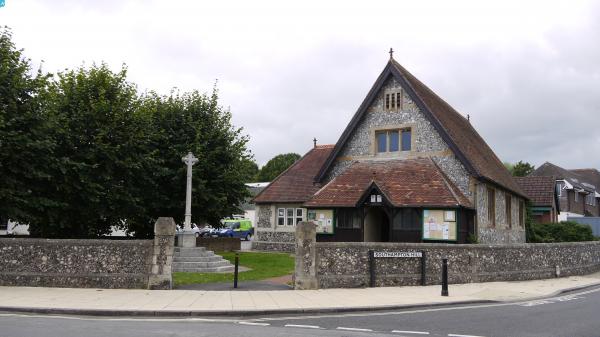
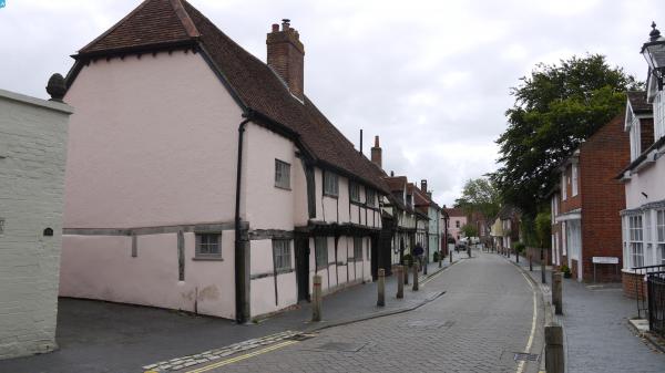
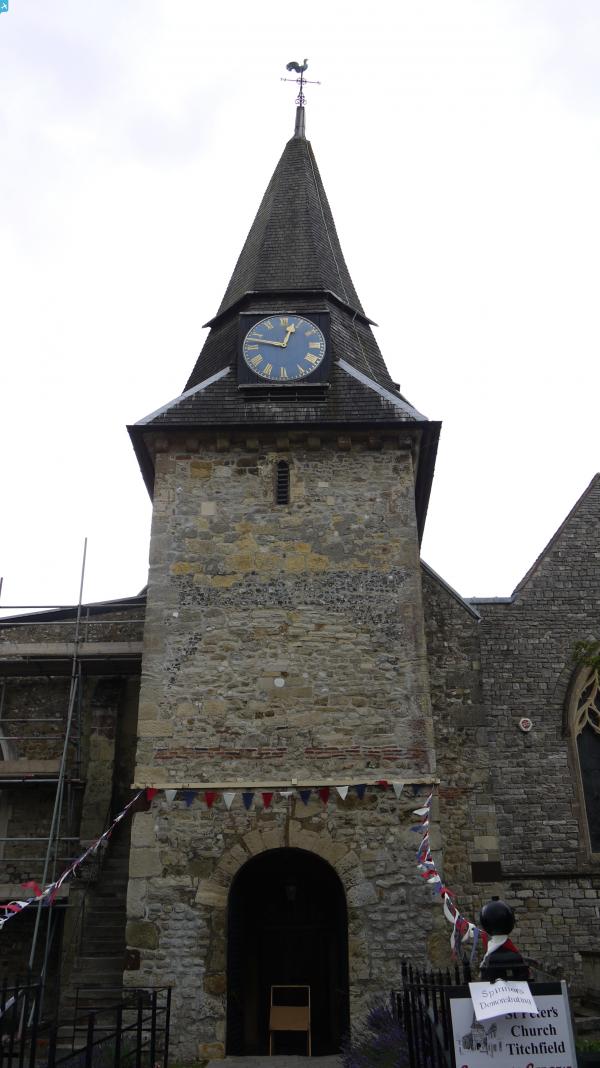
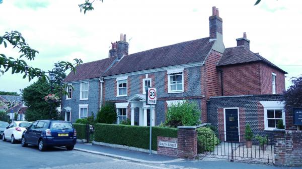
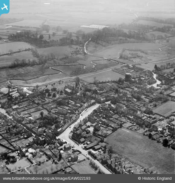
EAW022193 ENGLAND (1949). The village, Titchfield, 1949
© Hawlfraint cyfranwyr OpenStreetMap a thrwyddedwyd gan yr OpenStreetMap Foundation. 2024. Trwyddedir y gartograffeg fel CC BY-SA.
Delweddau cyfagos (5)
EAW022193

EAW022192

EAW022195

EAW022194

EAW022196

Manylion
| Pennawd | [EAW022193] The village, Titchfield, 1949 |
| Cyfeirnod | EAW022193 |
| Dyddiad | 17-April-1949 |
| Dolen | |
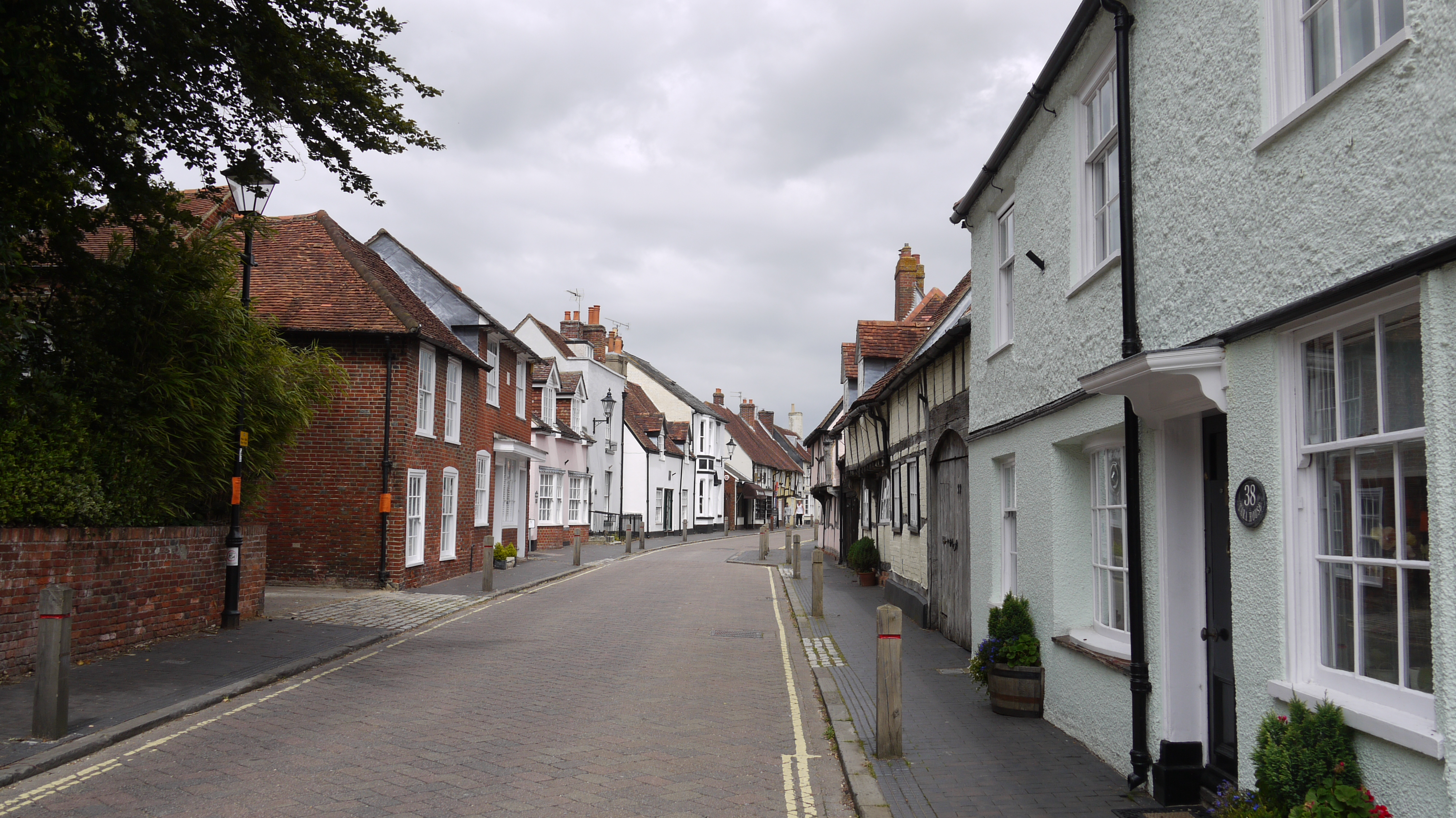
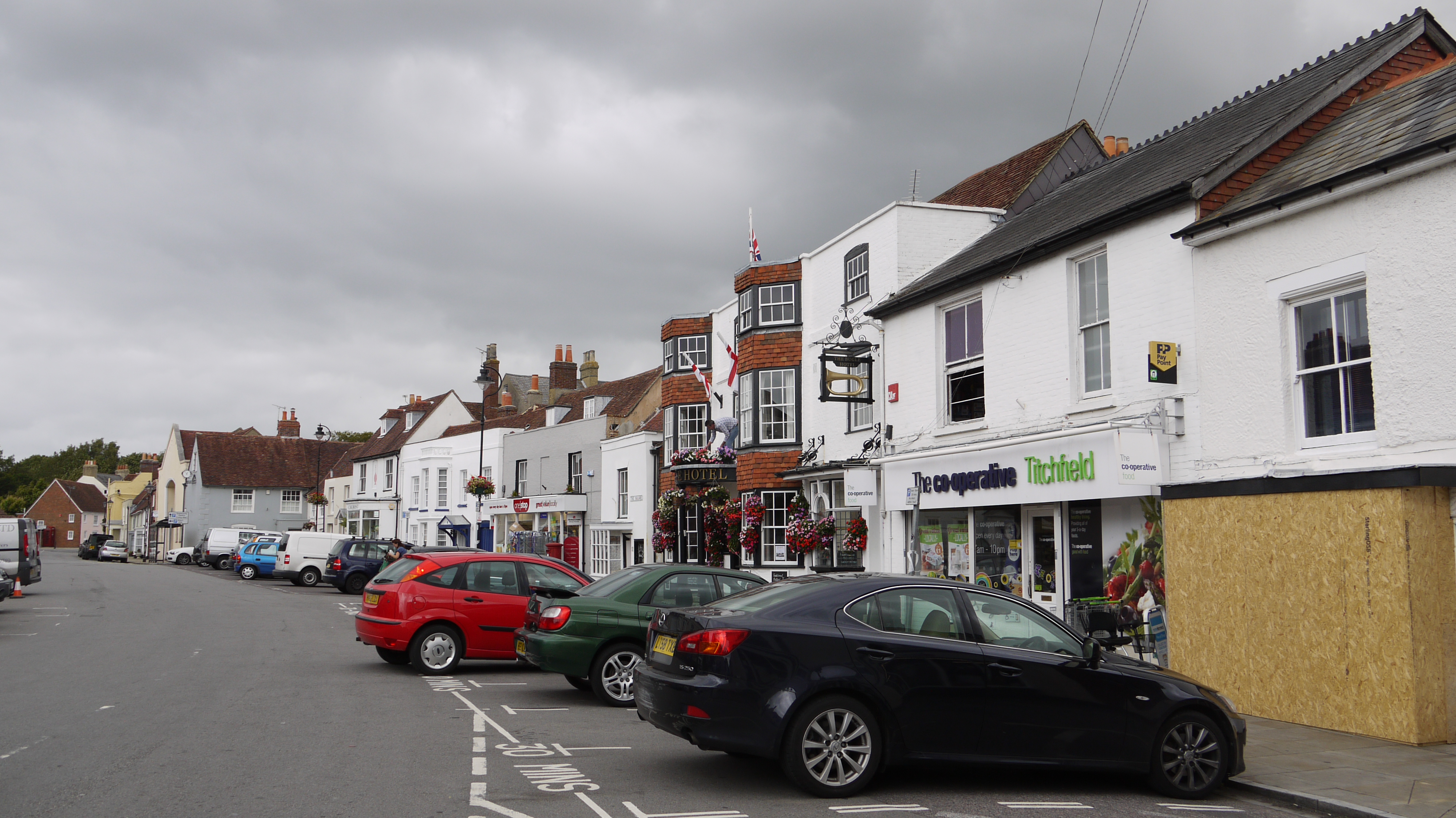
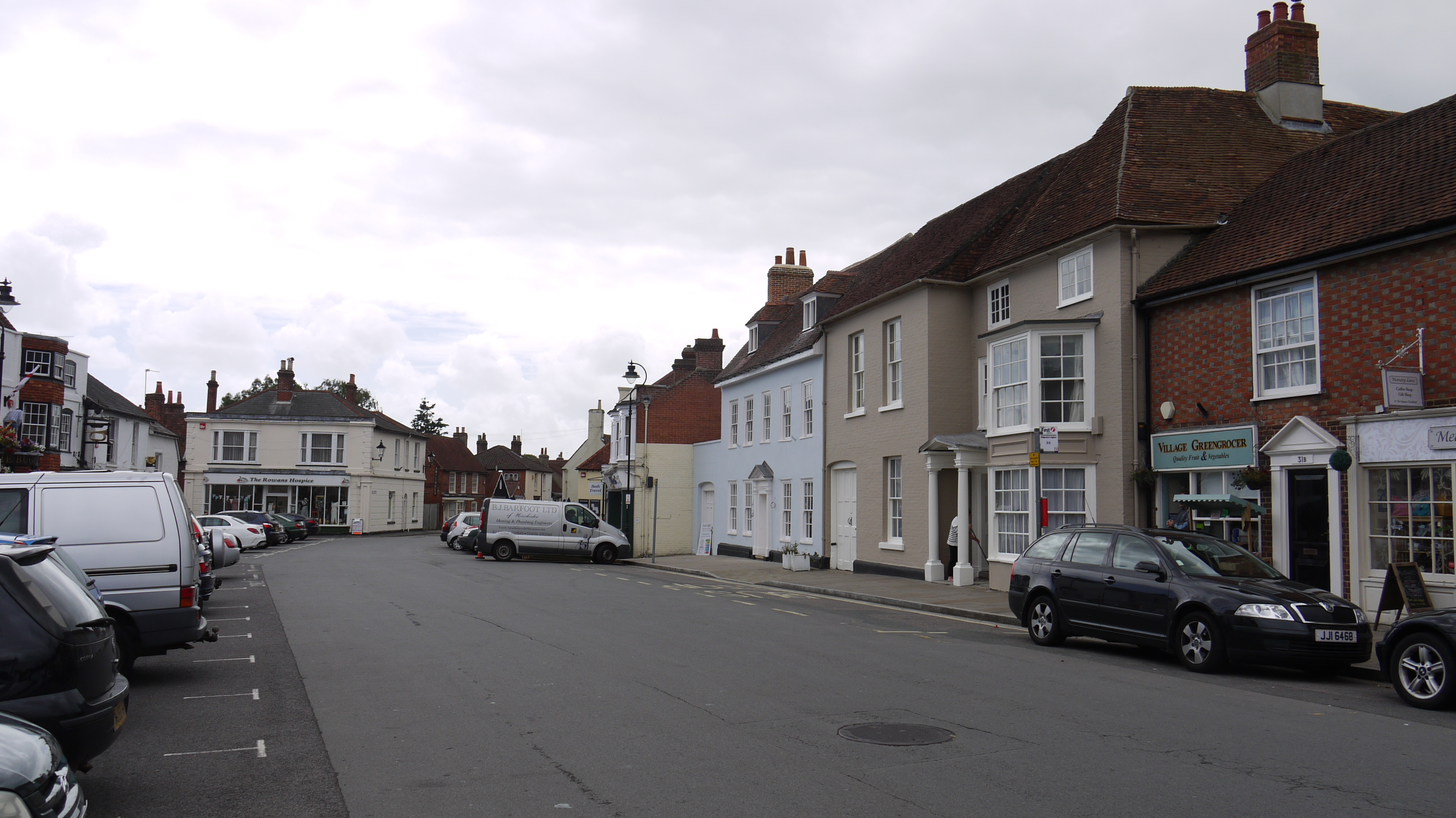
| Enw lle | TITCHFIELD |
| Plwyf | |
| Ardal | |
| Gwlad | ENGLAND |
| Dwyreiniad / Gogleddiad | 454077, 105751 |
| Hydred / Lledred | -1.2317643039456, 50.848189788031 |
| Cyfeirnod Grid Cenedlaethol | SU541058 |
Pinnau
 alastair wallace |
Monday 21st of March 2016 01:49:32 PM | |
 Class31 |
Wednesday 5th of August 2015 08:50:07 AM | |
Class31 |
Wednesday 5th of August 2015 08:47:30 AM | |
Class31 |
Wednesday 5th of August 2015 08:44:52 AM | |
Class31 |
Wednesday 5th of August 2015 08:41:01 AM | |
Class31 |
Wednesday 5th of August 2015 08:39:54 AM | |
Class31 |
Wednesday 5th of August 2015 08:39:00 AM |